So far, this autumn has been very nice. It’s been dry and just the right temperature. There were a few hot and humid days thrown in there about a week ago, but they passed quickly and we returned to our regular temperatures. Around 40 degrees at night and 55 during the day, although last night was pretty chilly. Colder than 40 degrees. People around here have already begun burning their firewood. I can understand their eagerness because I’ve begun to burn mine as well. I mean, it’s just sitting there, after all. And I have tons of it. There really is nothing better than relaxing in front of a wood stove with the fire going.
Since autumn days are hit or miss, you have to take the sunny ones when you can get them. Yesterday was perfectly sunny. Today, it’s raining, but yesterday was one to write home about. Because of all the sun, we decided to head up to the “trail near the cemetery,” which is otherwise known as Pico Ridge trail. It’s a relatively short trail that traverses up a hill past a small local cemetery, continues to climb a small mountain and ends up at a cliff that overlooks Clearwater Lake in Industry, Maine (right outside Farmington). This is one of my favorite hikes because it’s so short. I get the feeling of being outdoors and having done something, but I don’t have to put that much work into it. If you know me, you know this is the way I roll. I really don’t like long hikes. I do them, but I don’t particularly like them. I’ll never admit that to anyone though.
Have you ever hiked to a cliff with your camera, all excited to take pictures, and found that you kept taking the same photos over and over again? That’s what I felt like yesterday. There’s only one view to be had and that view can be captured with one photo. Yesterday’s view was spectacular and as I stood there snapping away, I wondered how I could mix things up. I did manage to get some diversity, so I decided to write a post to show you some of the photos. There aren’t many, but they’re pretty nice.
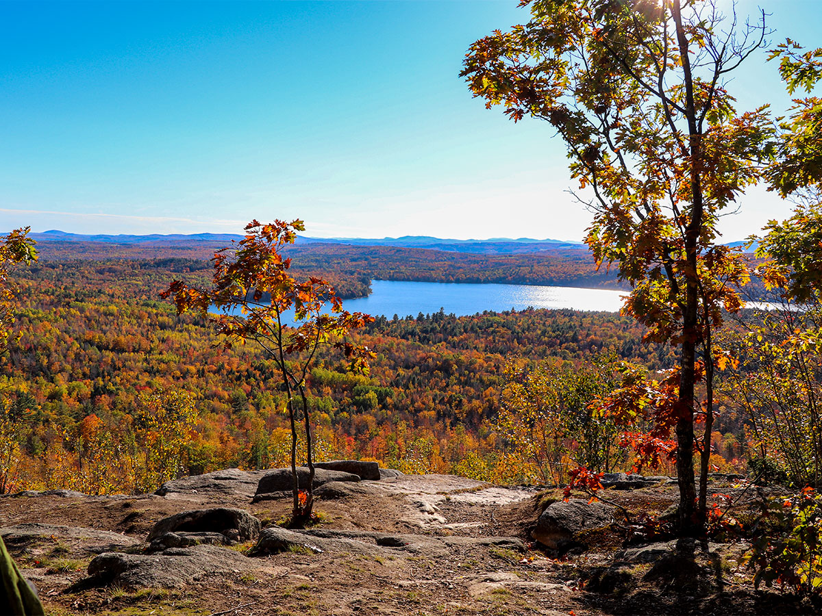
Here’s the view from the top of the cliff overlooking Clearwater Lake in Industry.

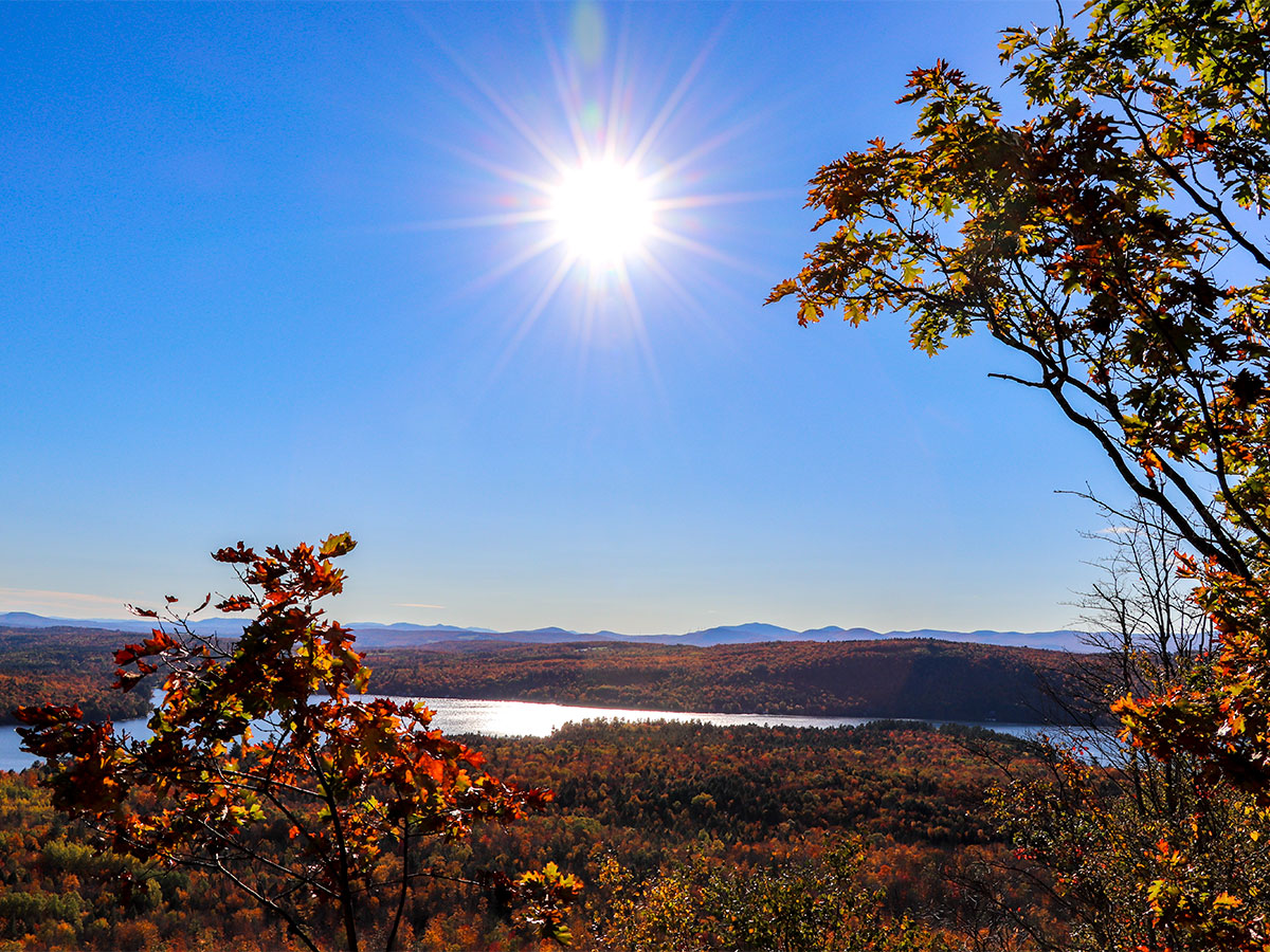
And here’s a nice shot I got with the sun in it. I was all the way zoomed out and my aperture setting was F11, so I managed to get the starburst effect I was after. You can generally capture the starburst effect with an aperture setting smaller than F11.

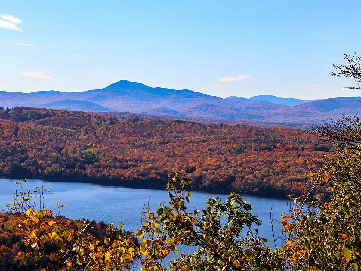
If I had to guess, I’d say this is Mount Blue or Tumbledown Mountain. I’m probably wrong with both of those guesses. It sure is pretty though.

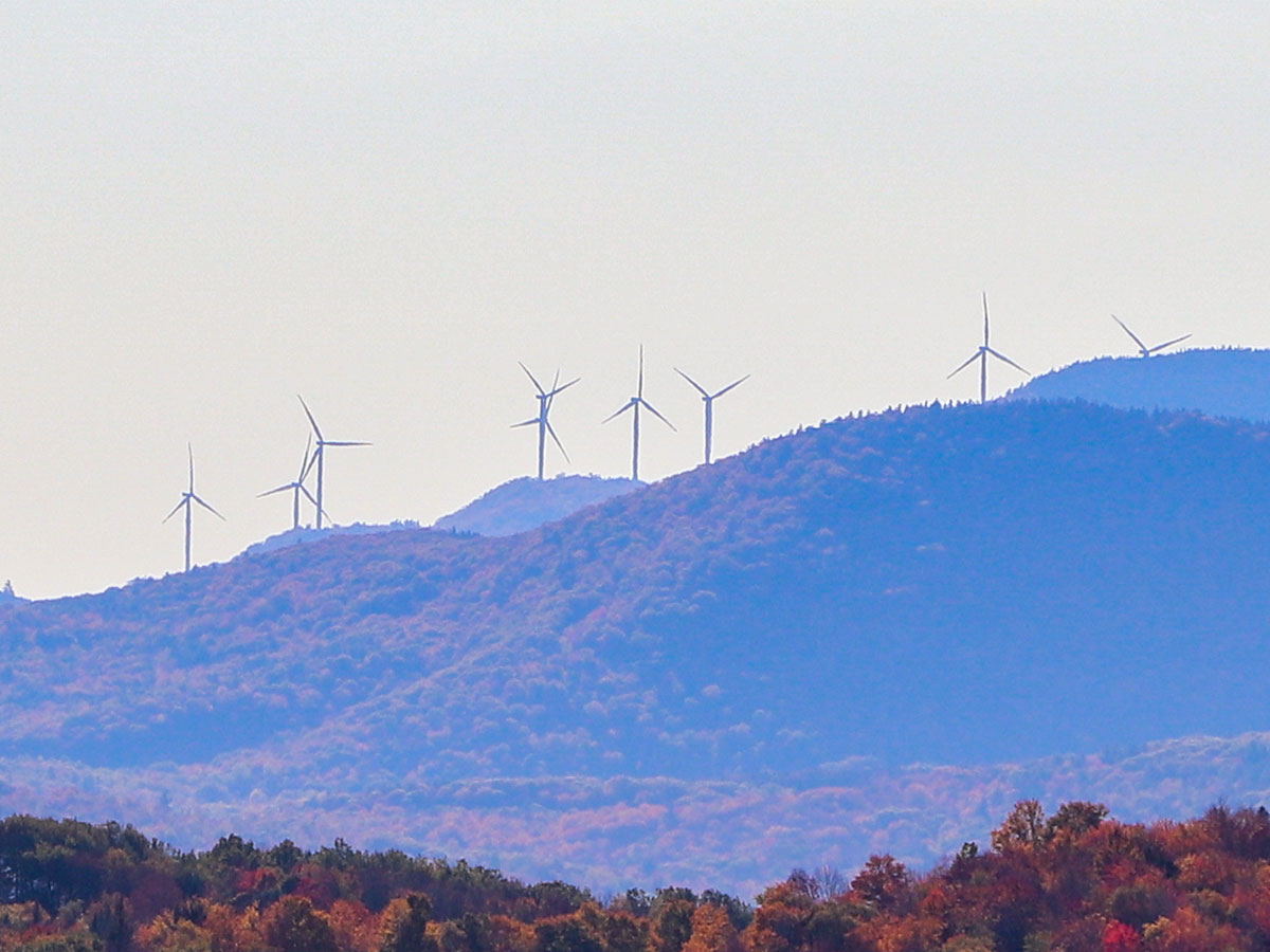
Off in the distance, we saw two wind farms. One of them was the Spruce Mountain wind farm and the other is called Record Hill Wind in Roxbury, Maine. Here’s a photo of the one in Roxbury.

It’s neat to watch those turbines spin off in the distance.
I just took a look through the rest of the photos and I think if I post any more, things will get repetitive. So I guess I’ll leave things here, photo-wise. I do have lots of pictures from our recent visit to Sugarloaf Mountain though. We even rode the ski ride (chairlift) up to the top of the mountain, so stay tuned for that.
Directions to Pico Ridge & Where to Park
Lots of people want to take this hike, but not many know where to find the trailhead. If you’d like to visit this trail, follow these directions. I’ll start off right in the intersection of Main Street (route 27) and Broadway in Farmington, driving towards Industry.
Directions to the Trail
- Take route 43 from Farmington towards Industry. You’ll pass Clearwater Lake on your left (4.9 miles). Keep going for another 1.35 miles on the same road past the lake.
- When you see the sign for route 148, make the next left. As you’re making the turn, you’ll see an old one-room red schoolhouse on the corner. This means you’re on the correct track.
- Take route 148 up the hill for 1.45 miles until you see a cemetery on your left. It’s a pretty steep incline, so keep your eyes open.
Where to Park
Across from the cemetery is a dirt area right off route 148. People usually pull off the road on the right and park here.
How to Access the Trailhead
Once you’ve parked, cross the street and walk up the road/trail that’s all the way to the left of the cemetery. Continue straight up the hill and you’ll see signs for Pico Ridge. You’ll also see a bunch of other signs from a neighbor warning you not to trespass on his property. Please respect this man’s privacy.

Leave a Reply