At this very moment, western Maine is at peak fall foliage. In just a few days, the remaining green will die off to reveal a wonderful yellow and orange; after that, the decline will begin. What’s a full tree with color versus no color will transition to a semi-bare tree with color only. The greens are certainly holding fast this year though. I attribute that to our late summer rains. Dry summers/autumns make for the most vibrant of colors, but those colors fail to last very long. Wet autumns go the distance, but come at a price. Color. This year is odd it seems. We’ve now gone weeks with very little rain and we’re enjoying the best of both worlds. A drawn out and colorful season.
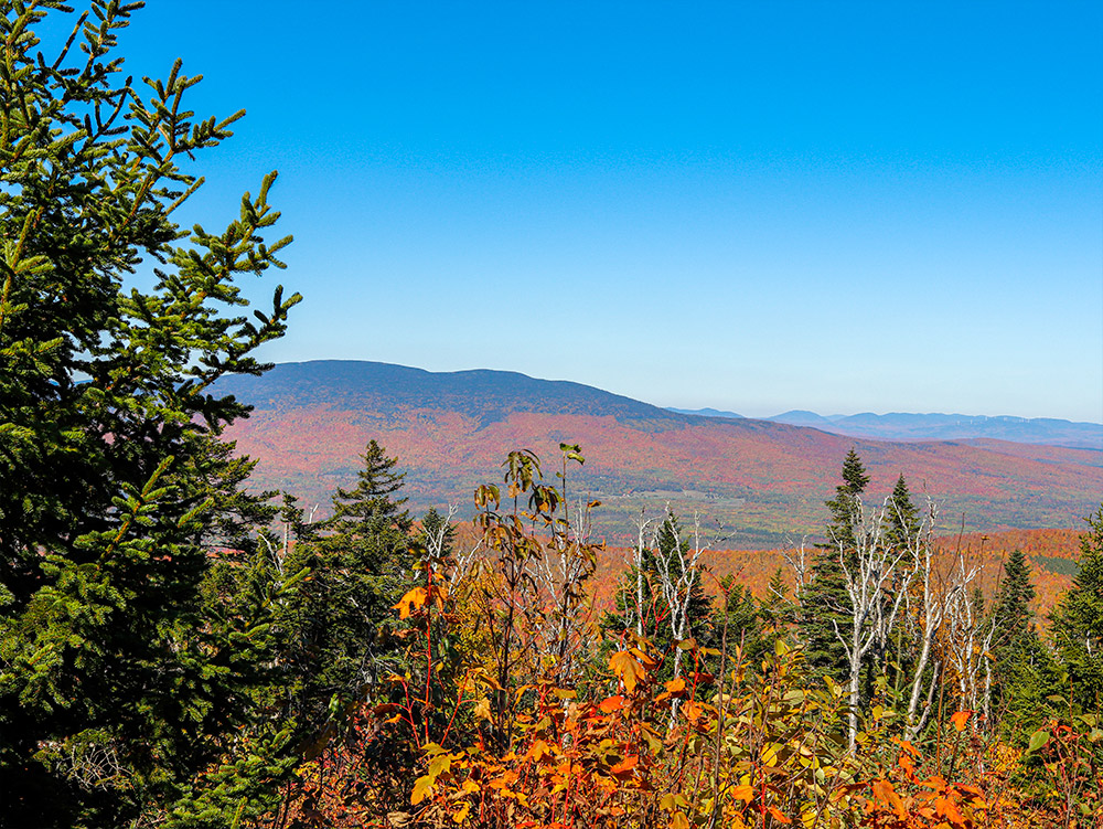
To give you an idea of the colors I’m referring to, I’ll show off a few of Laura’s latest photos. As I’ll discuss down below, a few days ago we visited a remarkable area of Maine called “Quill Hill.” During our trip up and down the mountain, Laura was able to capture a handful of photos. This is a small sampling of them.
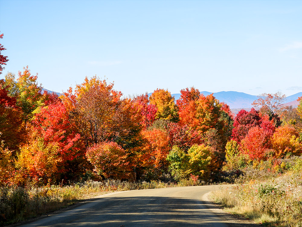
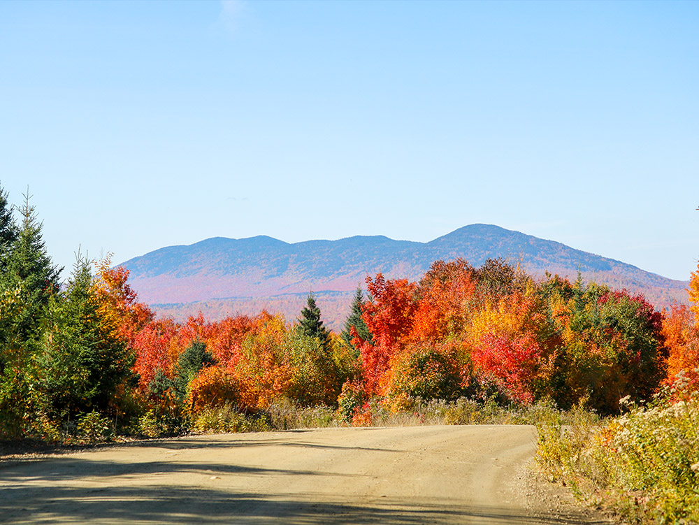
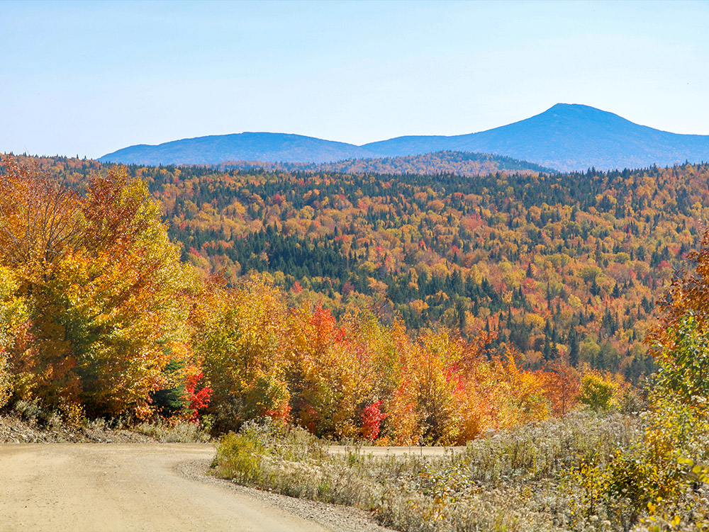
I would normally say you had to be there to grasp the majesty of what we saw, but in this case, the photos might actually do it justice. I’m not sure we’ve seen anything as lovely as what’s above. On our own property, we’re currently enjoying bright yellows and some oranges, but nothing like the red in the photos. Perhaps there is some red here and there, but it’s very isolated.
Quill Hill
Every autumn leaf peeping season, we make a point to travel someplace that will give us our fill of sights and scenes. We’ve visited the Maine coast, the White Mountains of New Hampshire, and now the gem of western Maine – Quill Hill. I’m actually not sure if Quill Hill is widely known. It was introduced to us years back by a neighbor. If memory serves, we were discussing another mountaintop view called Ira Mountain. This latter attraction is located just north of Kingfield, Maine and has been a staple for years for those who wish to sit and soak in the sights of western Maine’s mountain peaks. We’ve driven by the entrance to the climb many times, but were never quite inspired enough to make the trek to the top. I’m not sure why. Perhaps the closed signs that we’ve seen sprinkled here and there had something to do with it. I once heard whispers of having to ride in a golf cart to the top as well. I can’t be certain, but the whispers and the signs may have put me off. In the case of Quill Hill though, that’s been open and available to the public in a completely different way. Those who manage the mountain are fully welcoming. After reading up on it and poking around on social media, I felt as though we’d be doing them a favor if we visited. So we went and it was great.
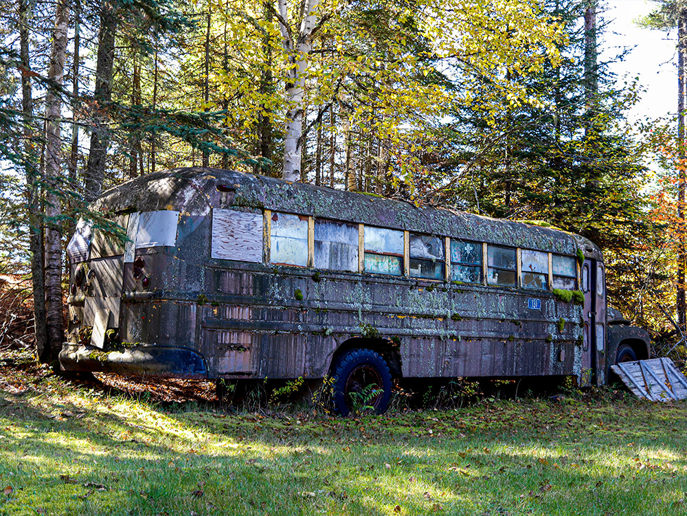
I’ll admit, I’m not wonderful with directions. I’m getting better, but I still find myself rushing through the process of searching them out and making proper mental (or better yet, written) recordings. In the case of finding the best route to take to Quill Hill, I did a cursory glance at Google Earth and off we went. While we were on the road, I wish I had taken a closer look at the distance in miles from here to there and there to here. Not once, not twice, but three times did I tell myself we should turn around because we had undoubtedly driven too far. Just moments after my last inclination for turning, I spotted a sign for the entrance to the hill. Once there, we saw additional signs and a very well maintained dirt road to the top. There was no mistaking where we were being guided and to what. Before we made it to those signs though, we made a wrong turn down a wrong dirt road. Interestingly enough, during that first excursion we learned where one of Poland Springs’ water sources was situated. The spring (building) we saw up close and personal is named White Cedar Spring. If you were to search that name in Google Earth, you’d see the exact spot we passed. And what’s more, on the way out and off that first dirt road, we took a quick break to snap some photos of an old abandoned bus. Apparently, there are a good number of campers and buses sprinkled through the woods of Maine. I’m sure they’re used for hunting and the like.
As a favor to those who lack the good judgement (as I do) to record proper directions to a destination, I’ll list the most important aspects of finding Quill Hill here. I hope this helps.
Directions to Quill Hill, Maine
Quill Hill is located on Oddy’s Road off Route 16 in Dallas Plantation, between the towns of Rangeley and Stratton Maine.
- I’ll begin from Rangeley. You can certainly find your way to Rangeley. Starting off on Route 4 (downtown), take Route 16 (Rangeley Road, Stratton Road) north, heading toward Stratton.
- Drive 7.24 miles to a dirt road on your right. Turn onto the dirt road.
- From there, you’ll see signs that’ll bring you to the top of the mountain. There are some one-way signs to follow. The entire trek from the entrance gate to the summit is 4.08 miles, so if you wish to walk or hike to the top, it’s entirely feasible. Also, cars, trucks, ATVs, side-by-sides, and RVs are all welcome.
What is Quill Hill, anyway? I’ll glean some facts from the hill’s website. First and foremost, it’s private property. Like so many areas that are open to the public in Maine, this one isn’t publicly owned and operated. A family and group of volunteers manage this property and can withhold its use at any time if they feel it’s being abused. I’ve seen that type of thing happen time and time again with ATV trails and camping spots, so it’s important to respect the rules that have been laid out and to do no damage. Other than that, Quill Hill’s peak sits at 2848′. At the mountain’s top, you’ll find ample parking, a picnic area, and 360° views of the mountains of Maine. There’s even a large wood fired oven that’s free to use if you need to cook something. And get this – the wood is even provided. Access to the mountain is available 24 hours per day from May through October. Other than that, the lower gate will be closed, but access to the top is still an option if you were to bike, ski, or snowmobile.
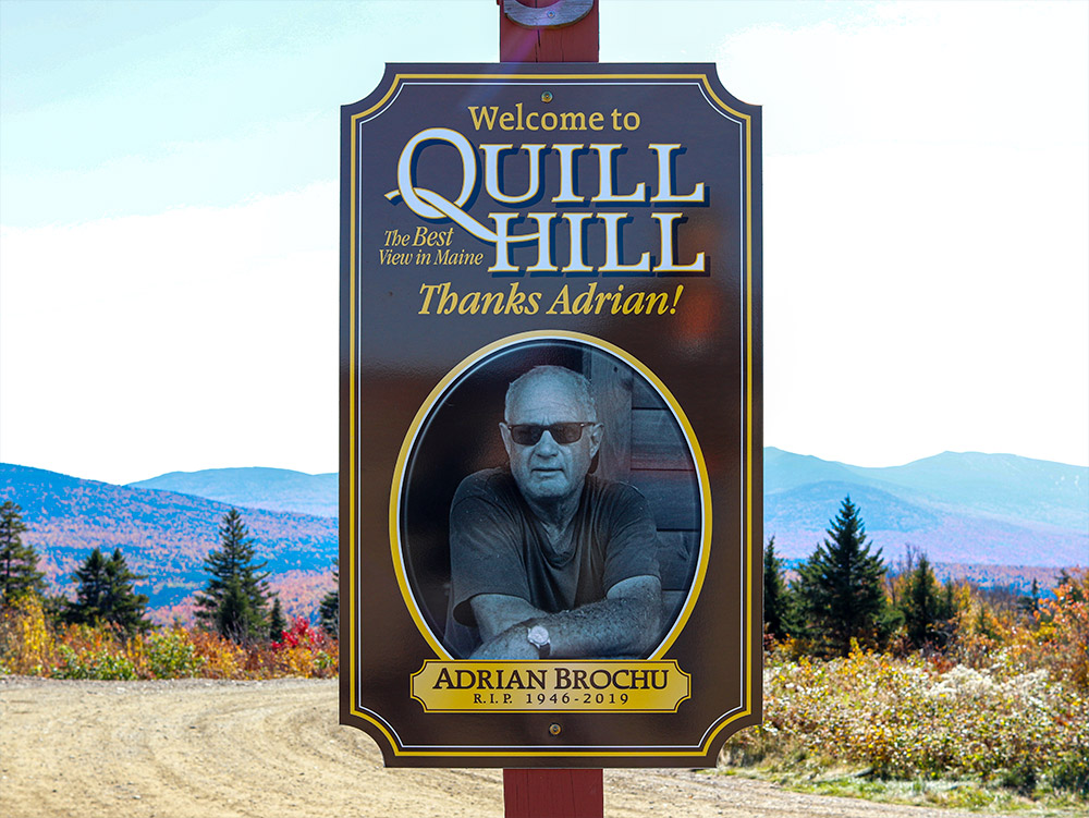
As far as the history of the mountain goes, a man named Adrian Brochu began working on making the road to the top accessible by car in 2010. He continued his efforts until his passing in 2019. Today, as I mentioned above, a private group continues those efforts. It’s a remarkable story, really.
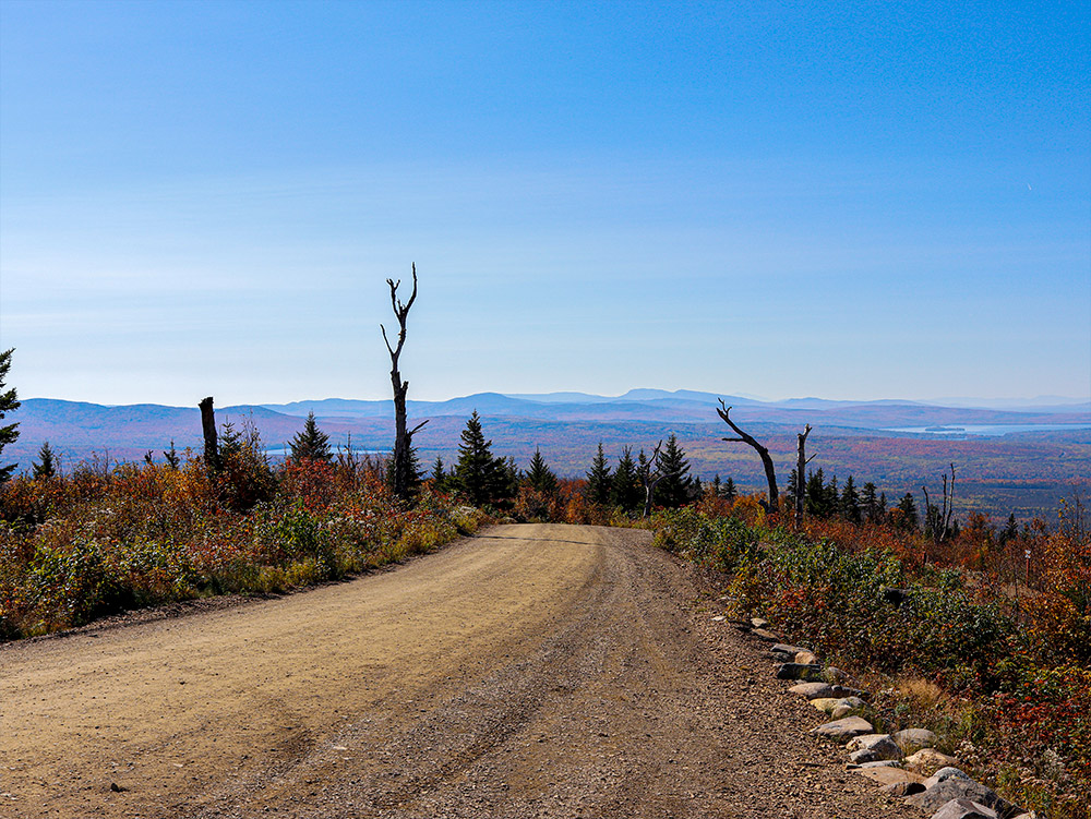
If Laura and I ever make it back to this location, it won’t be without a GoPro camera attached to the car’s windshield to record the trip. I wish we had such a camera this time around because the ride to the top was nothing short of breathtaking. The views combined with the autumn colors were simply outstanding. But even though I wasn’t able to take any worthwhile video, I did manage to capture a few decent photographs. Please take a moment to browse through them below. They were all taken from the top of the mountain.
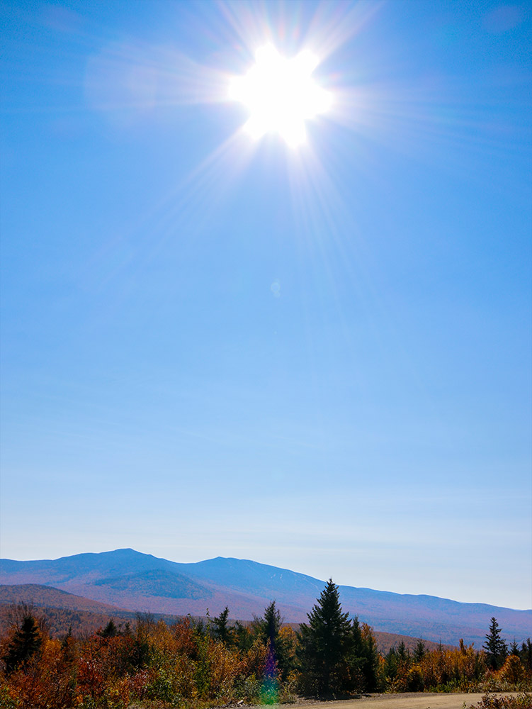

For this wide photo (directly above), you’ll need to right-click on the image with your mouse and choose the “Open Image in New Tab” option to see the larger view. When the image opens in the new tab, click on it with your mouse to make it even bigger. This picture is a partial north facing panoramic that consists of nine different photos all merged together.
Overlooking Rangeley Lake
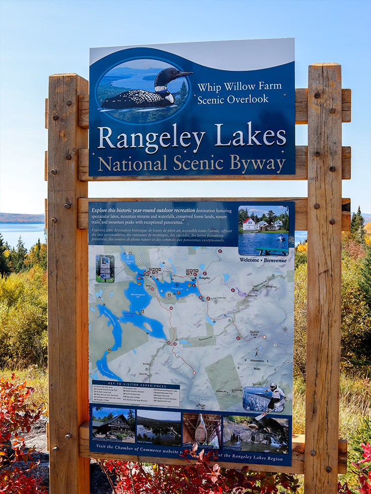
Rangeley, Maine truly is something to behold. There’s so much to do in the area, from boating to ATVing to eating to snowmobiling. On the way to Rangeley, I said to Laura, “This is the place people who have money go to get away from everything. Buy a nice cabin and enjoy life the way it’s meant to be enjoyed.” It’s beautiful and very easygoing. It sort of reminds me of New York’s Adirondack Mountains in a way. While I won’t go too deep into the Rangeley area in this post, I’ll share two photos I took while stopping at its famous scenic overlook. After our Quill Hill adventure, we decided to pull off Route 4 into one of Maine’s prettiest sights. It wasn’t an unexpected occurrence. One can’t drive by an overlook like this and not stop to take some pictures. If you’re interested in visiting this parking spot that overlooks Rangeley Lake, you can find it by driving 1.1 miles south on Route 4 from the junction of Route 16 and Route 4 in Rangeley.

Again, this photo (above) is a panoramic. You’ll need to right-click on it, just like you did with the first panoramic. This is five photos merged together.
I hope you enjoyed reading about this adventure and viewing my photos. If you did, please leave a comment below. I’d like that!
Map Coordinates for the Above Locations
If you aren’t familiar with how map coordinates work, all you need to do is copy each set of numbers below (one set at a time) and then paste them into the search box of either Google Earth or Google Maps. After that, press the search button and you’ll be brought directly to the area(s) I referenced in this post.
- Quill Hill: 45.0446540554861, -70.52161570112752
- White Cedar Poland Spring: 44.993036012824064, -70.53663732558357
- Rangeley Lake Overlook: 44.952023104590744, -70.63837338087987

Can you access Quill Hill by ATV? What about the off season? Is there an ATV trail for Quill Hill?
I believe you can use an ATV on the primary access road. It’s a dirt road and it’s in excellent shape. People drive cars, RVs, and just about anything else up that road. As for the off season, I’m not sure. I would assume snowmobiles use the access road too. But just like any other road or trail in Maine during the winter, I don’t think they’d allow ATVs to drive on the road. They simply do too much damage.