For the final part of our Acadia adventure, Laura and I hiked the Ship Harbor Trail down near Bass Harbor in Acadia. I hadn’t planned on doing any hiking until the morning of. Before we left, I browsed Google Maps for some addresses to put into the GPS when I noticed a short hike of only about a mile and a half. I figured that we’d have the time, so it would be a shame to pass it up. I’m so glad we didn’t miss this one because it was the best part of the day. When people say rocky coast of Maine, this is exactly the area they’re referring to. I mean, this is really it. It’s ridiculously beautiful.
The trail is shaped like a figure eight and like I said, it’s only about a mile and a half long. It’s also relatively flat, which was nice. Not many people know this about me, but I’m sort of lazy when it comes to hiking. I like to tell people that I only enjoy quarter mile hikes or shorter, which is almost the equivalent to walking to the mailbox and back. In reality, I’ll do almost any hike, but I’ll complain about it until I’ve worked up a sweat. Then, like so with many other activities I’m involved in, I get my blood pumping and I don’t want to stop. This is the beauty of being a complex individual. Unpredictable, if you will. An enigma wrapped in a riddle.
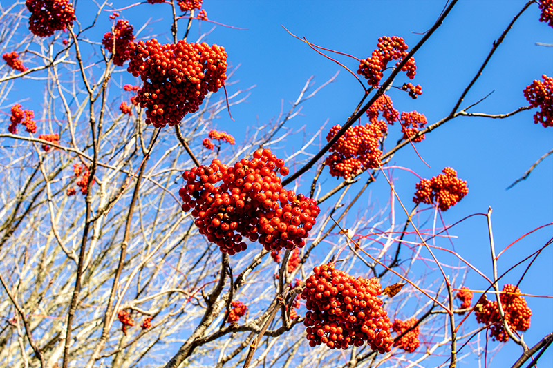
Let’s start off at the beginning. We parked the car out in the small lot on the road and walked in the trail about one hundred feet before we came across a very strange tree/bush. On the tree were bunches of red berries. I still don’t know what they are, but there were quite a few of these trees along the trail. I thought it would be nice to take a photo of them. As you can see, although the sun is falling, there’s still plenty of light out there and the sky is still clear. A beautiful day in Maine.
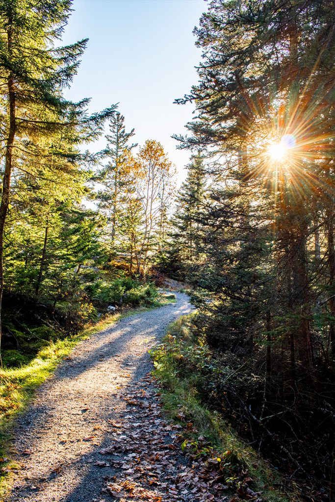
The issue we were having with this particular trail was the stunning scenes along it. Everything looked so good that we were slow to walk due to the both of us stopping every ten feet to take one picture after another. I tried to hold off on the photography to get to the end of the trail before it got dark. The sun was falling fast.
But when I saw something like this, I had to stop again.
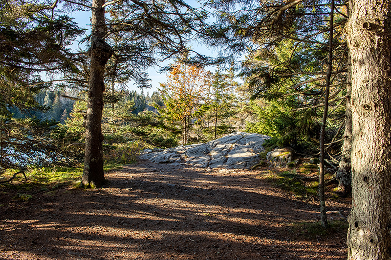
It was like this the entire way. Scene after scene after scene. Here’s one of a small clearing along the way. I guess you could stop to have a picnic at this location if you wanted to.
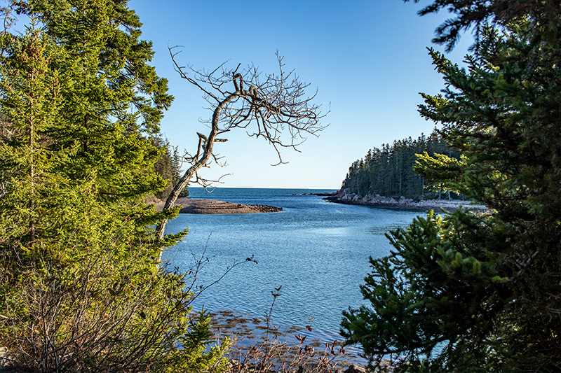
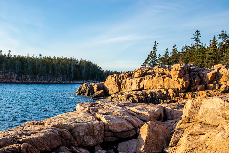
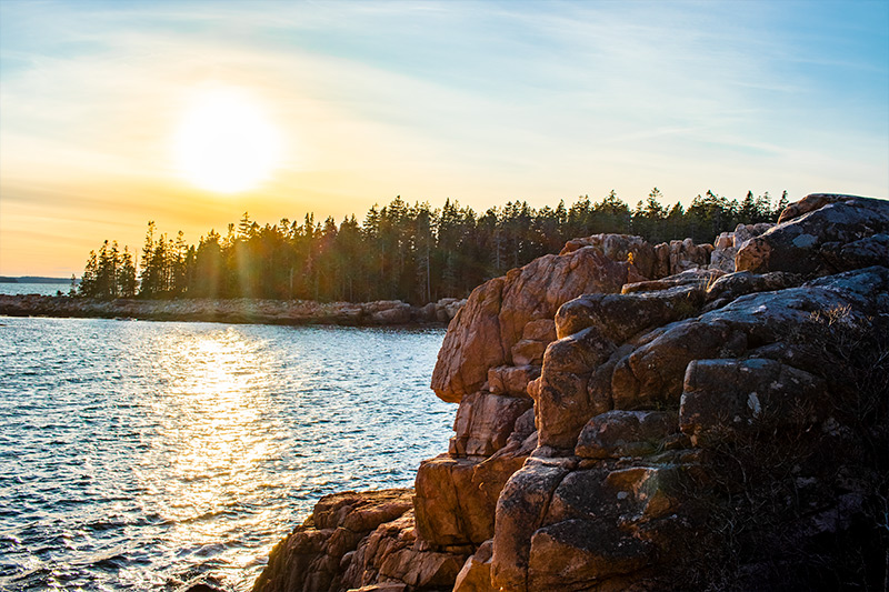
This is Ship Harbor itself leading out into the ocean. Laura thought the tree in the center of the image was sort of ugly, so she took her shots from a few different angles. I thought the tree added drama, so I kept it.
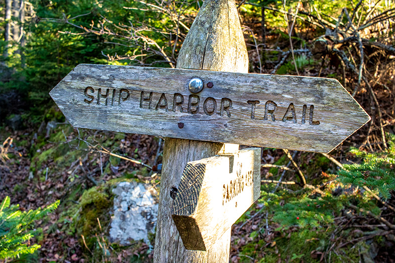
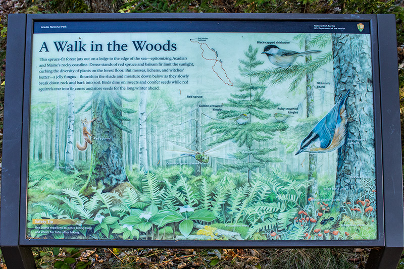
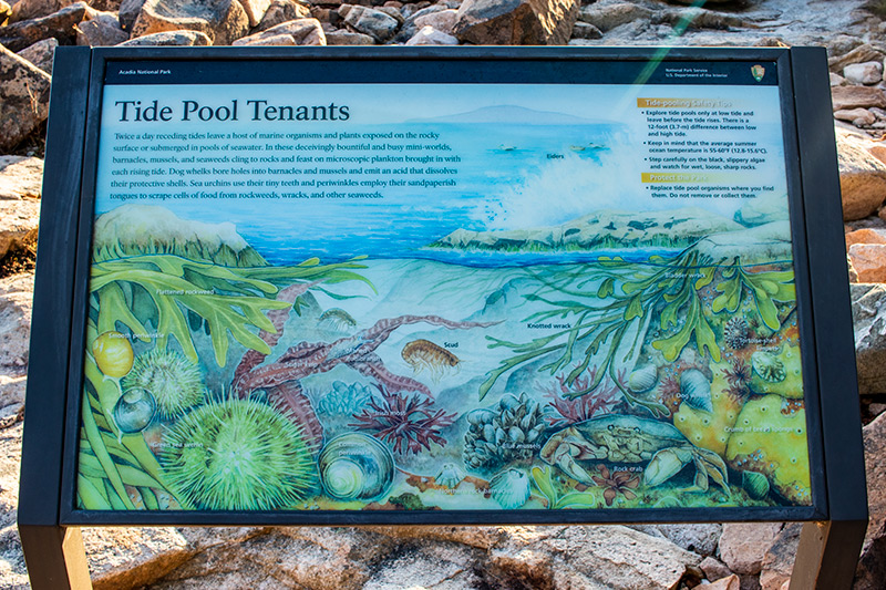
Along the way were some informative signs that described what the area was about. I didn’t necessarily read them, but I thought they’d be helpful for those who have an interest.

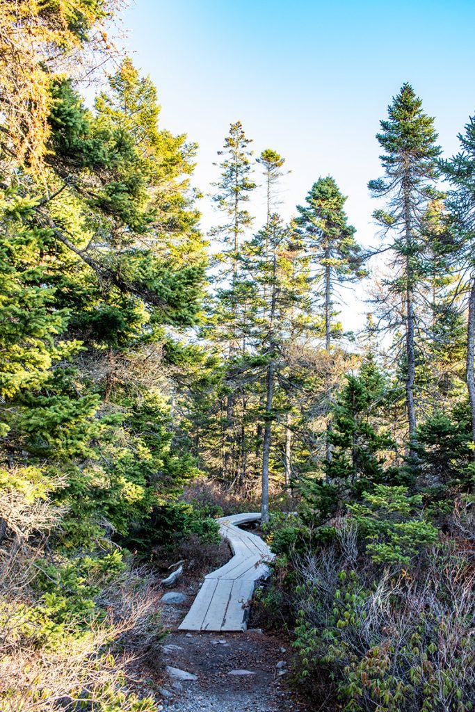
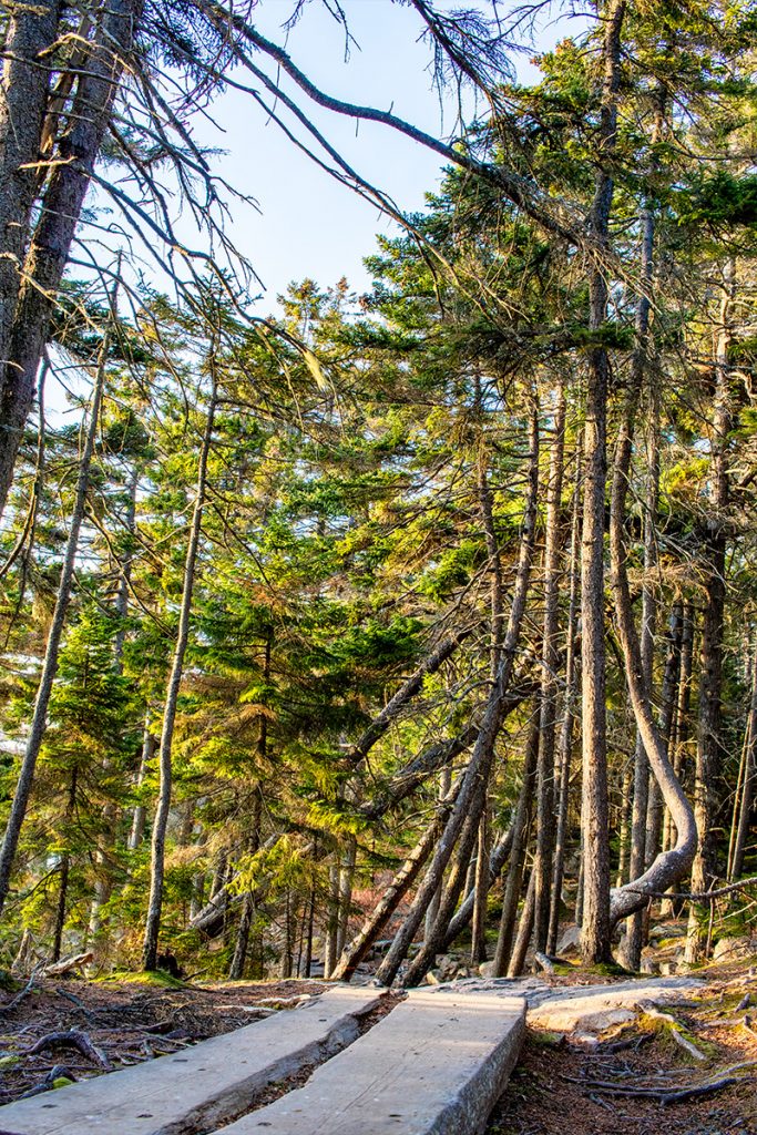
By this point, I could smell the ocean air. This short boardwalk led right to the rocky coast.
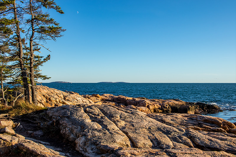
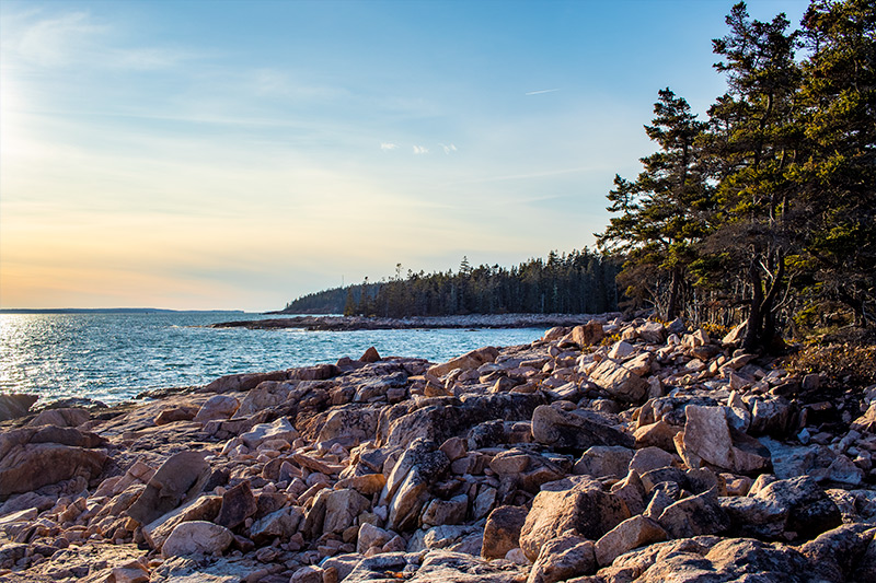
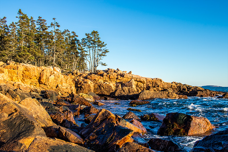
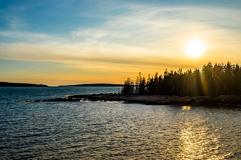
At the end of the boardwalk, this is what we were presented with. In the distance is Great Duck Island on the right and then another island without a name.
That’s what it looked like to the left. When we turned to the right, this is what we found. The entrance to Ship Harbor itself.
As you can see from the next few photos, there are more oranges in the scene. This is because as we hung around, playing on the rocks, the sun fell into what’s known as the Golden Hour. This is a photography term for when the sun is almost set. The light becomes golden and photography becomes exponentially more beautiful. It’s the right time to take photos as evidenced by a professional photographer who was setting up his gear nearby.
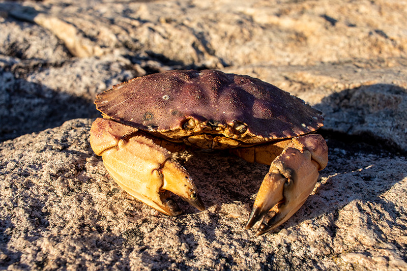
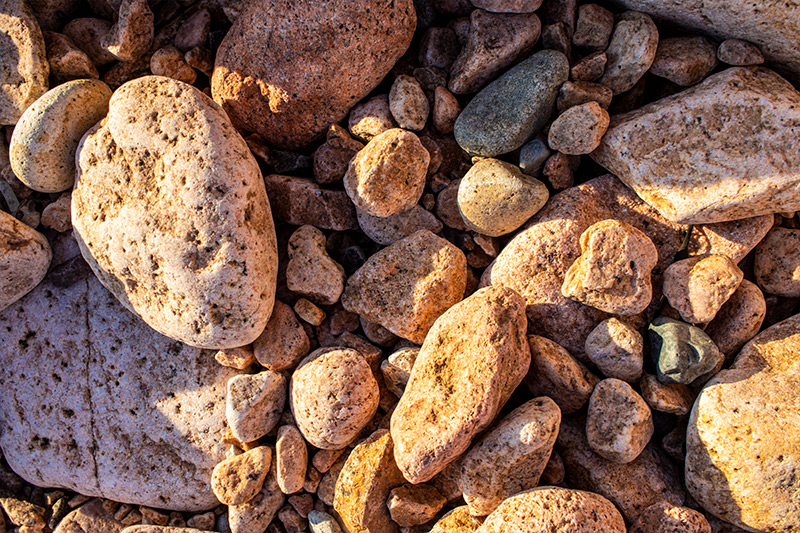
In the next few images you can see the final sign that I captured, a poor dead crab with no legs and an example of the stones that can be found in the area.
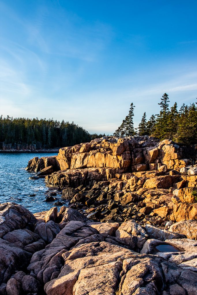
Do you see how those shadows are becoming longer? That’s what we wanted to see because as we continued along the trail the skirted the coast, we came across scenes such as these.
The first photo below is another money shot. I love the orange light the sun was casting. The second one is the view back into Ship Harbor.
Here’s a taller view of the same type of thing.
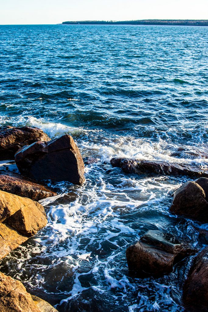
Of course, I’d like to show off the clean blue Maine ocean water.
I have no idea how much time we spent out there, but it must have been a while. The sun was setting fast.
I’m really trying to keep these photos to a minimum, so I’ll only show you two more. I have hundreds and it pains me to leave so many out, but they’re sort of repetitive. I took this next picture during the walk back to the car. The harbor is to my left and where I was standing was near the end of the boardwalk and in another pine forest. Actually, I think everything was a pine forest.
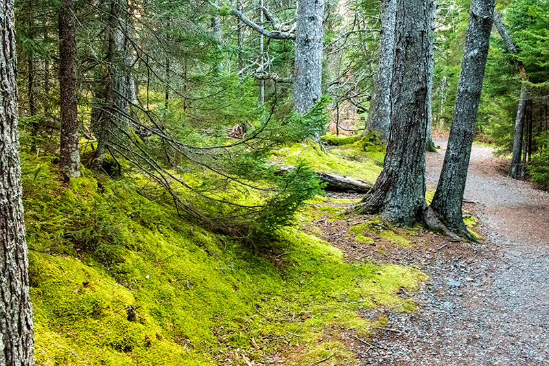
Just when we thought we were finished with seeing interesting things, we stumbled upon a lush mossy area in the pines.
I’ll show you one more to wrap this post up. I couldn’t live with myself if I left out the most gorgeous Maine sunset. Take a look. This was taken across Ship Harbor.
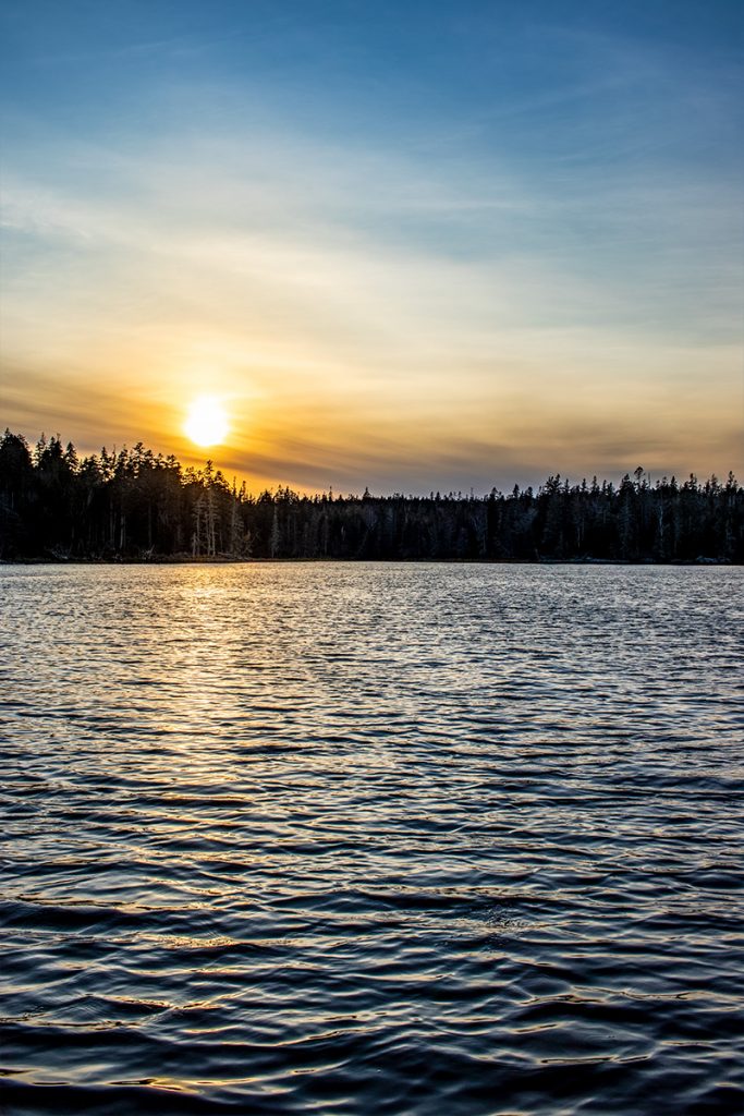
It honestly doesn’t get any better than this.
We had a wonderful time at Acadia this past Monday and I would encourage you to visit the area if you get the chance. We barely scratched the surface with what we saw in my three posts, so there will be many more returns. In the meantime, I think I’ll work on some of these photos to print and frame. Thanks for reading!
Directions to Ship Harbor Trail
I’ll give directions to the trail from Ellsworth, which everyone has to drive through to get to Mt. Desert Island.
- Starting at the intersection of Main Street and Route 1 in Ellsworth, drive south on Route 1 for 1.01 miles until you meet Route 3. Stay to the right and continue south on Route 3.
- Stay south on Route 3 for 8.43 miles until you come to a fork in the road that leads to both Route 3 and Route 102. Stay to the right to travel south on Route 102.
- Continue driving south on Route 102 for 12.72 miles until you come to a fork in the road that leads to Route 102 and Route 102a. Stay to the left to travel south on Route 102a.
- Drive south on Route 102a for 2.28 miles until you come to the trailhead parking lot on the right. That’s where you’ll park.
Leave a Reply