Boy, this fall season has really been humming right along. We’ve gone out more than I’ve expected. Yesterday was the last for a while because it’s supposed to be cloudy for the next few days. Actually, I think we’re supposed to get two full days of rain coming up. That would be nice, since we haven’t had a good soaking in a while. It’s a bit dry around here.
Hiking Reed Brook to the Falls in Kingfield, Maine
Yesterday, we decided to head all the way up to Eustis to hike around a two mile loop that runs through the Cathedral Pines. The thing is, the coolant light has been coming on in the car and after I checked its fluid level yesterday, I thought we shouldn’t push it. It was low. I was forced to drive the truck, which meant the long distance all the way up to Eustis would have to wait. Mind you, Eustis is probably only 25 miles from Canada, so it’s a ways up there. We recently heard about a new trail called Reed Brook just north of Kingfield, so I thought that was a better idea. Staying a bit closer made sense. The only problem was, I had no idea where the trail was.
After making it to Kingfield, we stopped by a small antique shop that’s located in a room of the Herbert Grand Hotel. The owner of this shop, who is named Barb, was the one who initially told us about the trail. Luckily Barb was there and after I asked her for more specifics about how to find the trail, she gave us great directions which we used to find what we were looking for. I’ll warn you here – it’s not an easy trail to find. It’s off of Rt.27, but it’s tiny and virtually invisible if you don’t know what you’re looking for. There’s a small piece of orange land marking tape hanging from the tip of a branch along the road, if that helps any.
We parked across the street from the trail head in a small dirt pull-off. I believe fishermen use this pull-off as they fish the Carrabassett River. There were signs directed towards anglers attached to trees here and there. After entering the trail, I still wasn’t convinced that we were where we needed to be. That is, until I reached this:
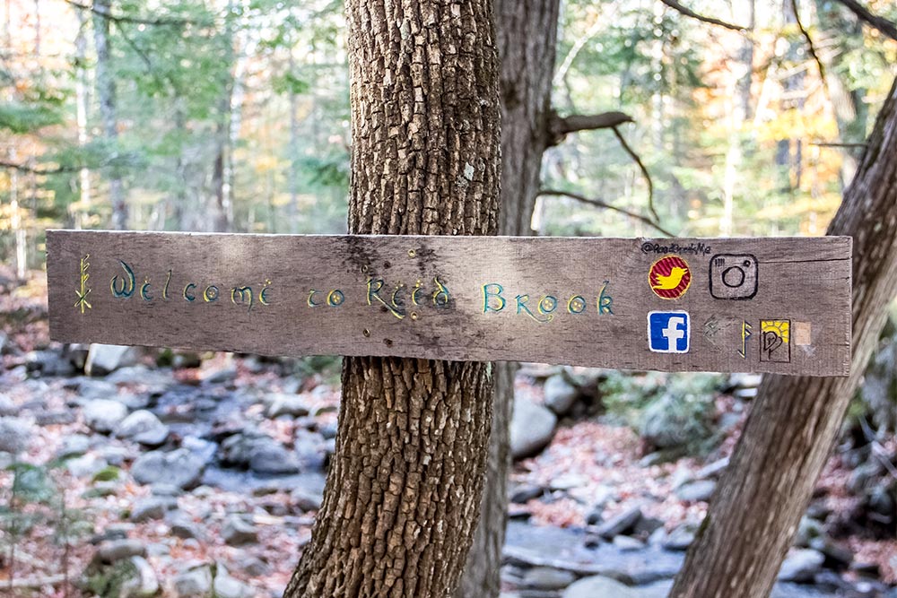
Ah, now I knew we were getting somewhere. Right past the sign, I looked back towards the road and grabbed a shot of the bridge the brook runs under. That’s Rt.27.
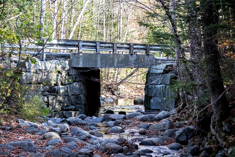
I was quite impressed with how great looking the area was. It was like a hidden gem, right off the main road. I was excited to hike deeper into the woods to get away from the noise the cars made as they passed by.
I have to admit, I took a lot of photos of big gray rocks. As we were there, I thought all of them looked so pretty, but after I got home and reviewed them, I realized they were pretty ugly and very basic looking. Rocks are rocks, after all.
I’ll try to filter through as many as I can and only show you the interesting things I took photos of. There were some really neat features along the trail. If you’re a Star Wars lover and remember the Ewok Village, you’ll enjoy some of what I have to show you.
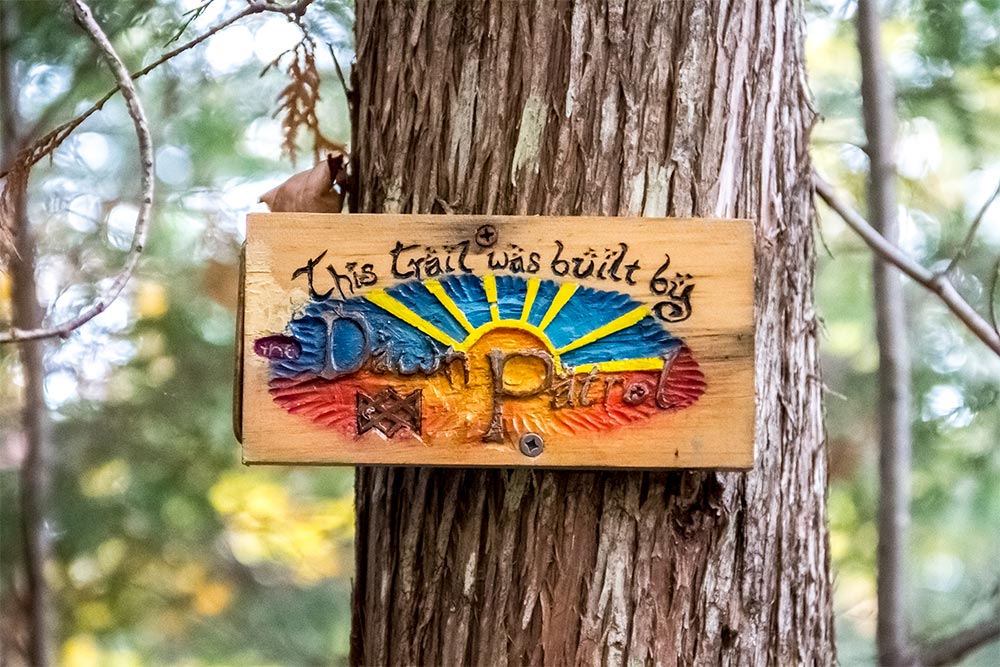
The trail was very well marked with many signs. All of them were interesting to read and written in a font that’s sort of like some sort of calligraphy. This one is straightforward. I’ll show you some others later on.
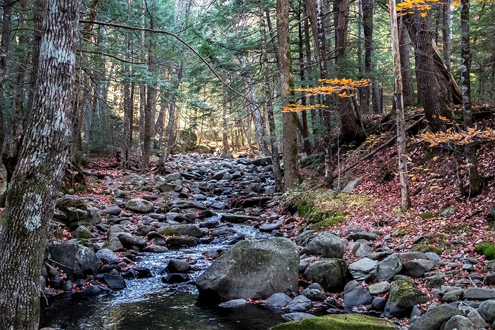
Basically, this is what the brook looked like for about a half mile. As you can see, there wasn’t much water flowing. There was some, but not a lot. Also, as you can see by looking at the rocks, this brook really gets cranking come spring. That’s when all the snow melt creates a rush of water down the mountain. By the way, yes, this brook climbs a mountain. A rather steep one the further up it goes.
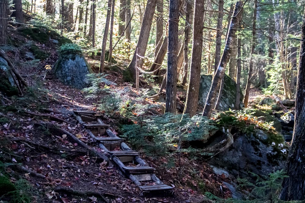
There were lots of little staircases along the way.
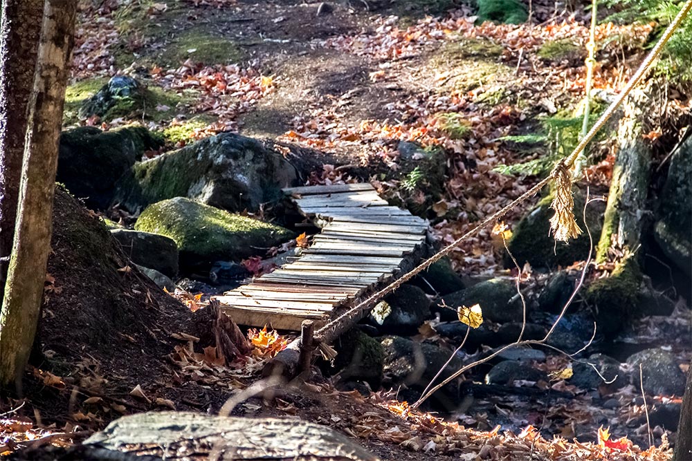
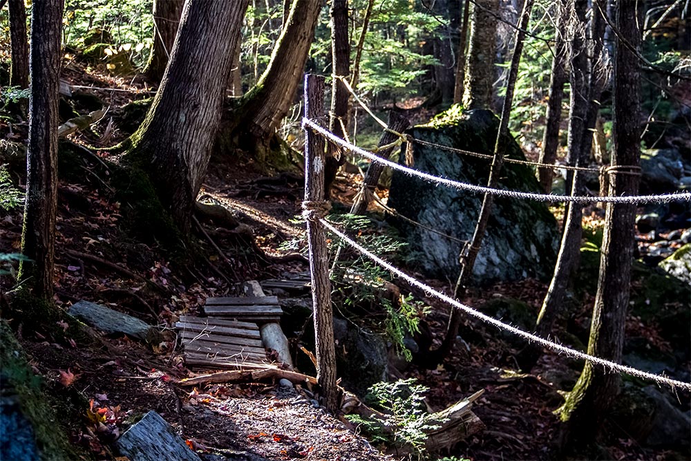
There were also many small bridges. Even some with rope handrails.
And what would a hike along a stream like this be without the classic water shot? There were a few pools like this that were very pretty.

There are two really cool features along this hike. The first is the bridge and the second is the waterfall itself. About three quarters of the way up the trail is the bridge. This is an interesting looking piece of architecture that should be admired from all angles. You don’t see things like this all too often out there.
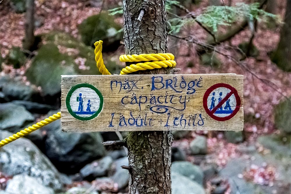
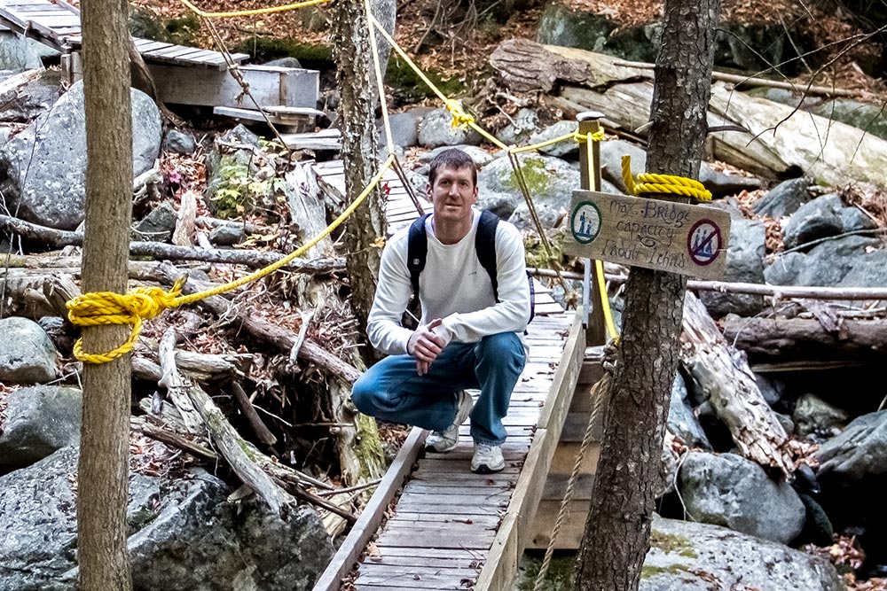
This sign details what the max bridge capacity is. It says there should be no more than one adult and one child crossing at any given time. As I read this, I wondered how accurate this sign really is. One adult and one child? There are many shapes and sizes out there. Perhaps a strict weight limit would have been better. I’m not the boss though, so I’ll just appreciate what someone else has done for me.
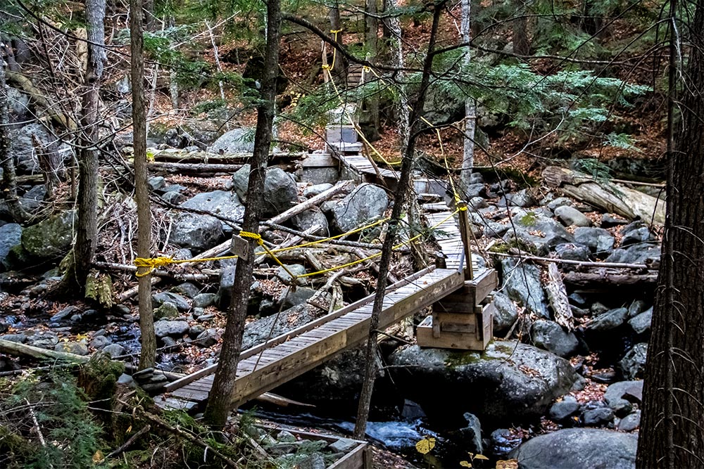
Hey look, I even snuck into one of the bridge shots.
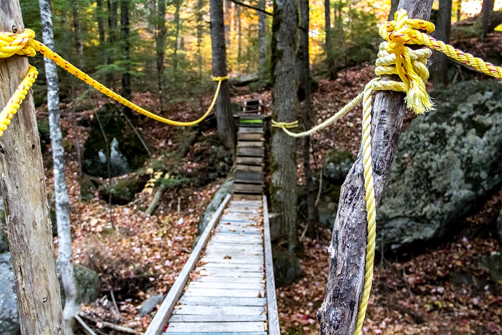
This is the main walkway.
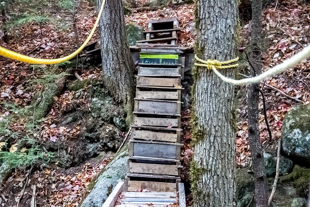
Here are the steps that lead back into the woods.
As I was walking, I really had no idea where we were headed. I heard there was a waterfall at the end of the trail, but I didn’t know how big it was or what it looked like in any way. A bit beyond the bridge, I snuck a peak through the trees and was like, “Whoa.” I called back to Laura, but she was too far behind and didn’t hear anything I said. All she missed was, “Hey look!” No big deal.
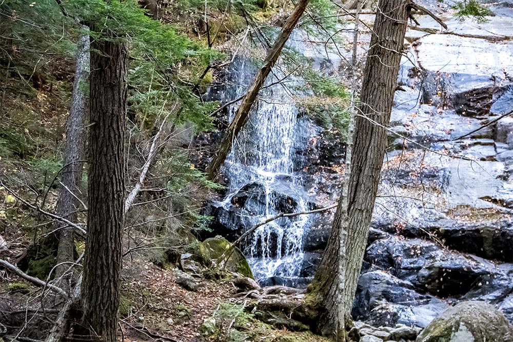
Huge hemlock trees lined the entire brook, which made for a good hike. I love hemlocks.
I walked a little more and saw a sign right before the falls. It said, “The Jericho Steps.” This was a little weird, because everything I have seen about these falls indicate that they are called Reed Brook Falls. I guess they have two names.
Right after the sign, I snapped a picture of the falls themselves.
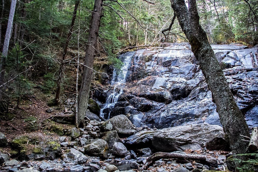
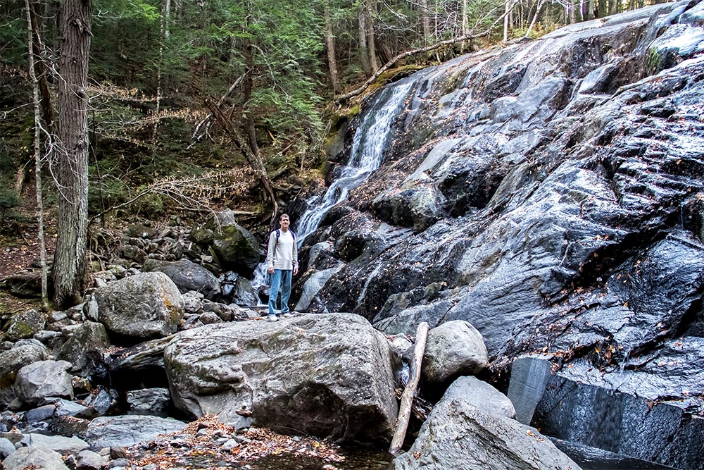
While that rock doesn’t seem that large, check out this next photo. I’m standing on a large boulder at the base of the falls. I like to do this to give a perspective of the sizes of things.
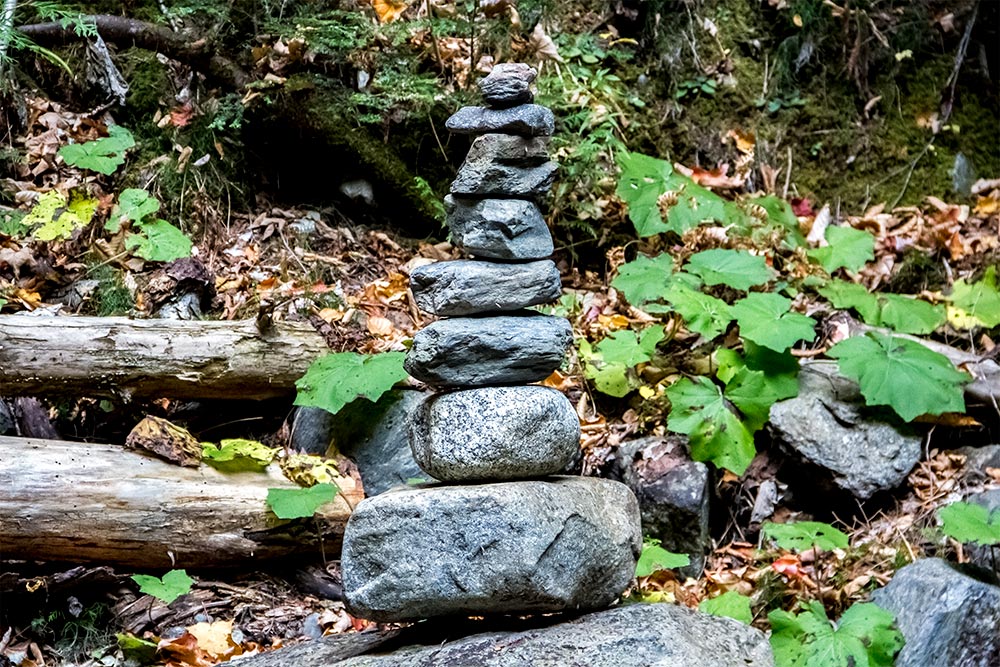
As my final photo, I’ll show you a pile of stones that was set up nearby. These things seemed to be all over the place. I actually added a rock to the top of one of them. I’m quite balanced, if you know what I’m saying.
Overall, this was a really nice hike. It’s only about two miles round trip, so it was perfect for me. As I’ve said before, I’m not into all day events. I get itchy if I’m stuck someplace for too long.
On the way back, we stopped at Longfellow’s for lunch and then headed home. I was full, so I didn’t need to do any cooking, which was nice.
If you’re ever near Kingfield, Maine and if you’re into hiking, this is one trail you might want to check out. It’s very enjoyable and whoever cleared the way and is in charge of the maintenance, nice job. I owe you.
Directions to Reed Brook Falls
I’ll give these directions starting in the middle of Kingfield on Route 27, heading north. I’m guessing everyone can find Kingfield. It’s the brook that’s tough to find.
- Beginning right at the intersection of Route 27 and Route 16 in Kingfield (across from the Herbert Grand Hotel and the bridge), head north for 3.77 miles.
- As you arrive at the destination, you’ll see a dirt pull-off on the right, parallel with the Carrabassett River. This dirt pull-off (parking area) is about 50 yards south of the brook itself. Park in the pull-off and then walk north between the two guard rails.
- On the left side of Route 27 heading north, you’ll walk behind the guardrail until you meet Reed Brook. Follow the trail inward and upstream heading west.
- Important note: if you’re traveling north and pass the Carrabassett Veterinary & Pet Resort on the left, you’ve gone too far. Turn around and drive south again for .21 miles from the vet driveway to the dirt parking area. From the vet, you’ll want the very first set of guard rails. These guard rails are very important, as they’re the primary indicator of the trail.

Hi Jay, great blog and I’m so glad you enjoyed your walk! Get in touch with me through Intsagram @reedbrookme or @carrabassett_jack and we’ll hook up for a hike next time you come through. To answer your queries, yes, the falls do indeed have two names, and as for the maximum number of persons allowed on the bridges, it has nothing to with their weight capacity but rather their structural resonance; if a group of people crept out onto the bridge they would be fine, but marching across in lockstep they would be promptly bounced into the Brook!
Hey Jack!
Great to hear from you. Thank you for the invite and thank you for explaining the limits to your bridge. I appreciate that. Now that we know where the trail begins, we’ll have no problems with finding it. We’ll definitely be back for another hike too. It’s a great one.
Take care!
Jay G.
Oh, and by the way, the orange tape blew away. I didn’t put it there anyway. The best way to find the trailhead from the road is to look for a gap in the trees a few feet north of the property pin. Except in winter you can also look for the two small cairns and the worn groove in the embankment. Message @reedbrookme for more info.