There certainly are a few gems in Maine. Probably more than a few. It seems that every time Laura and I take a day trip, we’re blown away by a hiking trail, small village, or coastline – whichever we visit. There’s an endless amount of places to discover in this great state. That’s probably why I love it here so much.
This is usually how our day goes: We decide upon our target location (usually happens a few days before), we get all our camera gear ready (usually happens the night before), we jump in the car the morning of, we arrive at our location and are awed by its majesty, and then we spend the rest of the day driving around and almost ignoring each other while we both take far too many photos. I can’t even begin to tell you how many I took during this short trip. Let’s just say there are a lot sitting in a folder on my desktop and as I write this post, I’ll be whittling the collection down to just a few I deem the best. And even after that, I’ll still have too many. Things probably go this way for all amateur photographers. It’s far too easy to take pictures in the digital age.
Harpswell, Maine (located in Cumberland County) is sort of shaped like skeleton hand. It’s a combination of peninsulas and islands along the coast. The town is located southeast of Freeport and southwest of Bath and its population is slightly over 5,000. I’m sure that population swells greatly during the summer months, but during the rest of the year, it sits around 5,000 permanent residents. The area is most known for its natural beauty, ocean views, quintessential Maine coastal homes, boating, and hiking. The topography was surprising. During my research of a location before we leave our house, I use Google Earth to take a look at where we’ll be heading. I’m ashamed to say that I’ve yet to hit the nail on the head as it pertains to how hilly a spot will be – or what it will look like for that matter. In this case, I thought, since we’d be visiting a coastal island, the terrain would be sandy and flat. Apparently I was wrong. Harpswell is full of fertile soil, hills, cliffs, and large trees contained within beautiful forests. It’s striking, actually.
For this trip, Laura and I traveled south on I95 to I295. I took the Brunswick exit and made our way through Sebascodegan Island, Orr’s Island, and then all the way to the southern tip of Bailey Island. The distance from our house (near Farmington) was approximately 80 miles, so the driving last under two hours each way. It’s not terrible for a day trip.
In this post, I’ll be sharing the photos I captured during our trip and I’ll also offer some commentary to liven things up. I hope you enjoy. Also, if you have any questions or comments, please don’t hesitate to leave them down below. PS – down at the bottom of this post I’ll be answering some of the most common questions asked about Harpswell, Maine, so don’t miss them. PPS – Be sure to watch my video of the scenery at the end as well.
Land’s End Gift Shop
There’s a place located all the way down at the bottom tip of Bailey Island. It’s called Land’s End Gift Shop and it’s only open a few days a week. Unfortunately, it wasn’t open the day we arrived, but I’m sure that’s fine because I have a feeling I wouldn’t have bought much anyway. It’s situated in a spectacular location though and it’s the first place we parked the car to stop and stretch our legs.
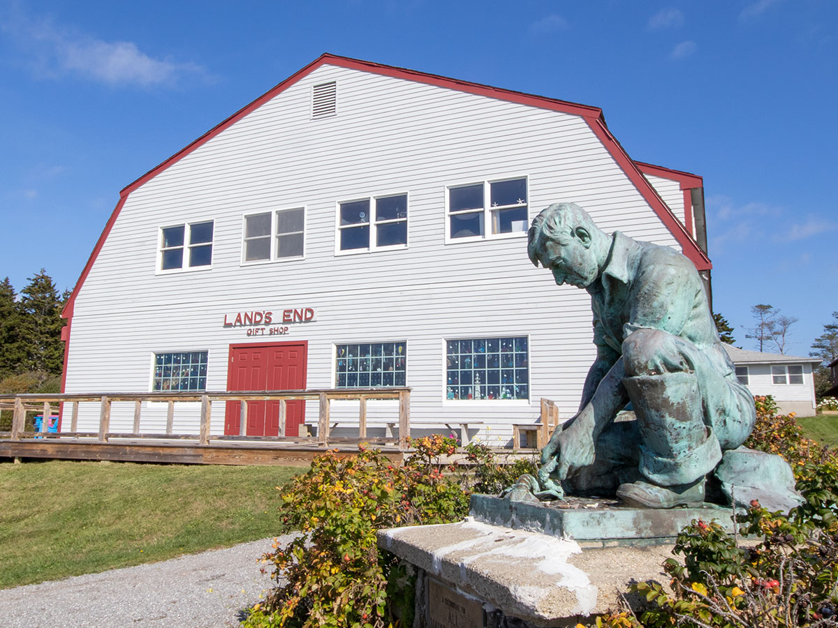
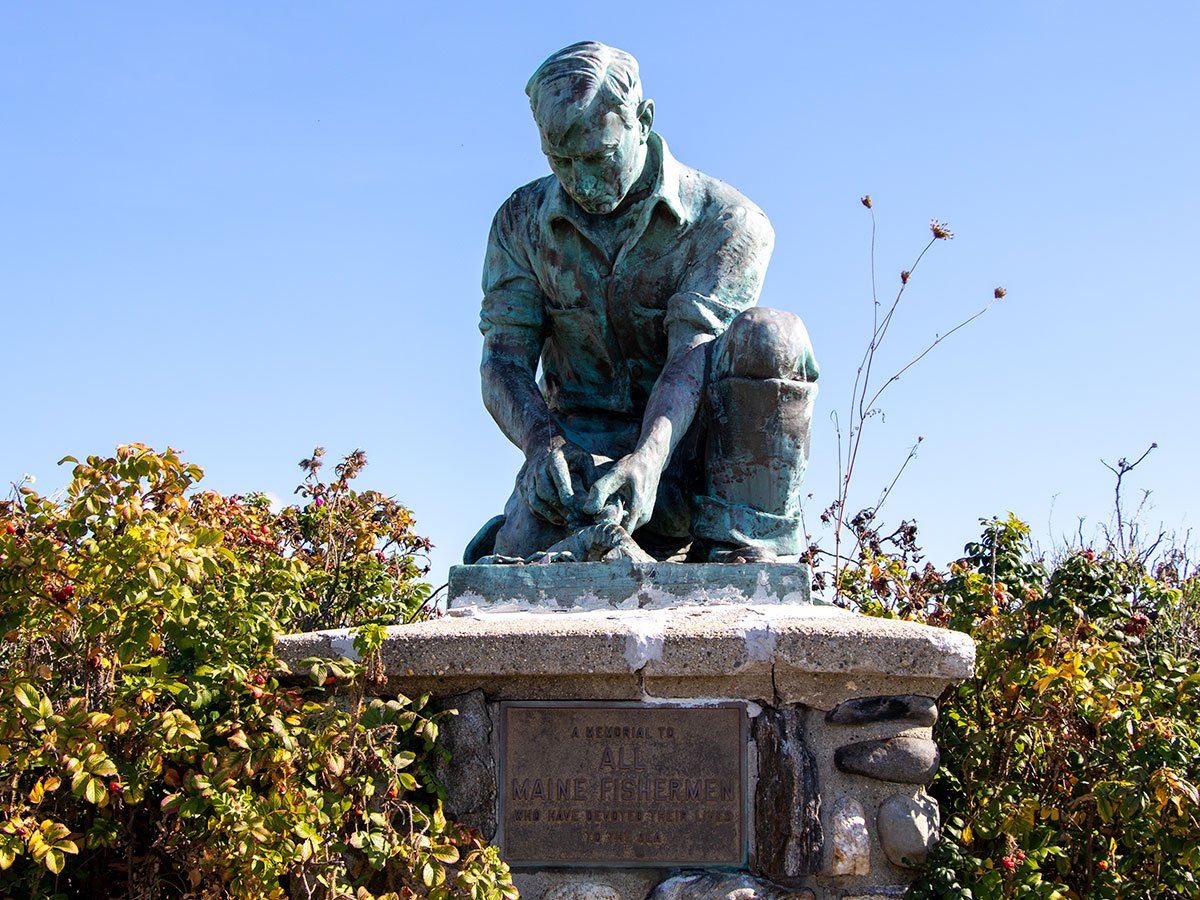
As you can see from the above photo, there’s a gift shop as well as a statue. This statue is called the Lobsterman’s Statue and there’s a small plaque that dedicates it to all Maine fishermen who have dedicated their lives to the sea. I’ve never seen a statue like it before, but I thought it was fitting for the location. It’s actually of a lobsterman doing something with a lobster.
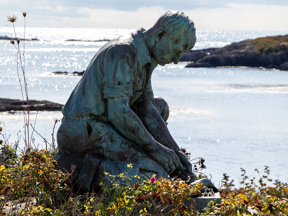
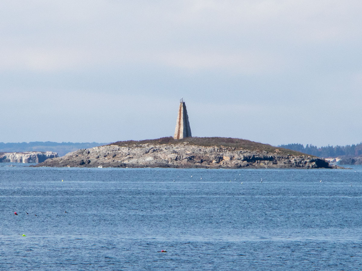
We walked around for a bit and took lots of photos of the rugged coastline and the sea. What struck me was the number of lighthouses in view, just from that one location. I counted at least three and perhaps even four. They’re way off in the distance though, so I didn’t get any great photos of them. This one below is called Little Mark Island Federal Day Beacon. Luckily Laura brought her 300mm lens, so I was able to get this shot. The other’s were just too far away and the photos weren’t worth posting here.
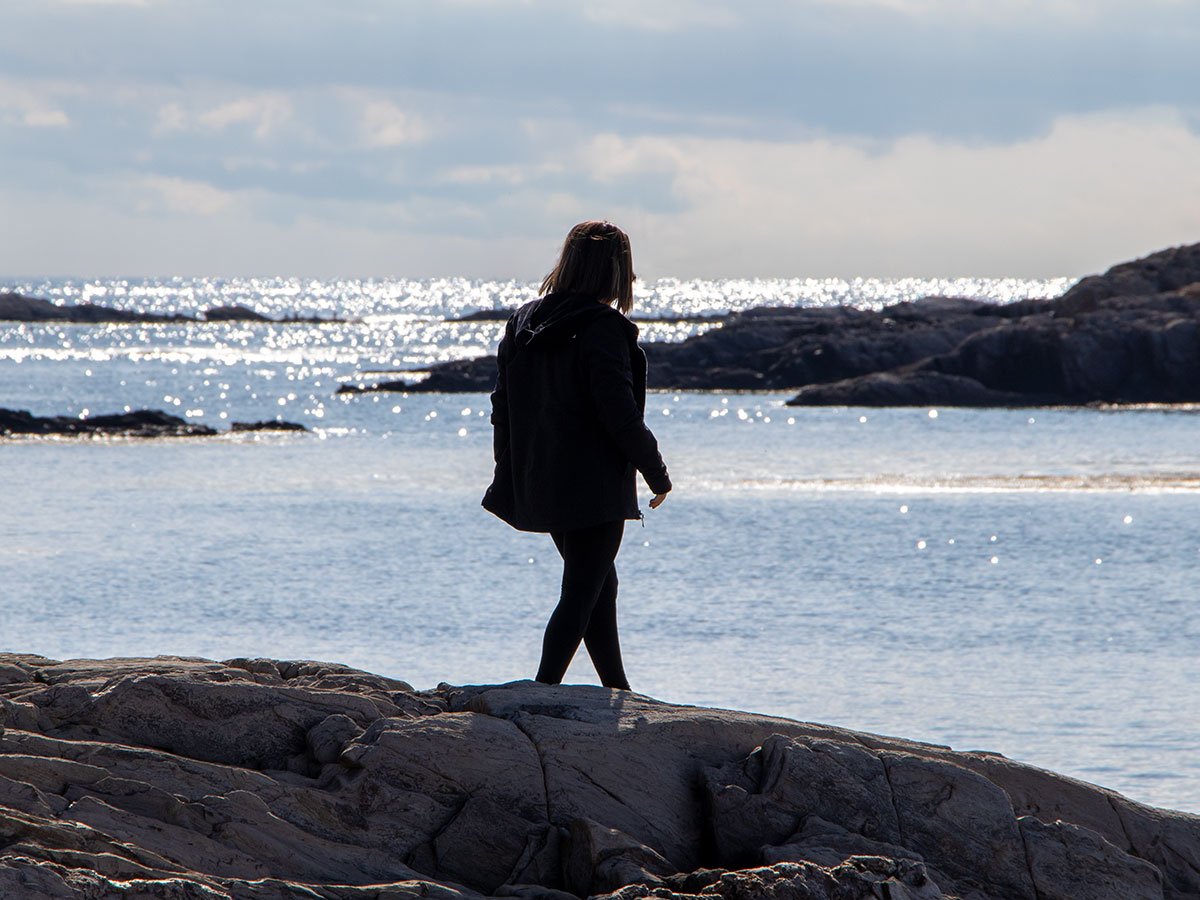
These are some pictures of the area.
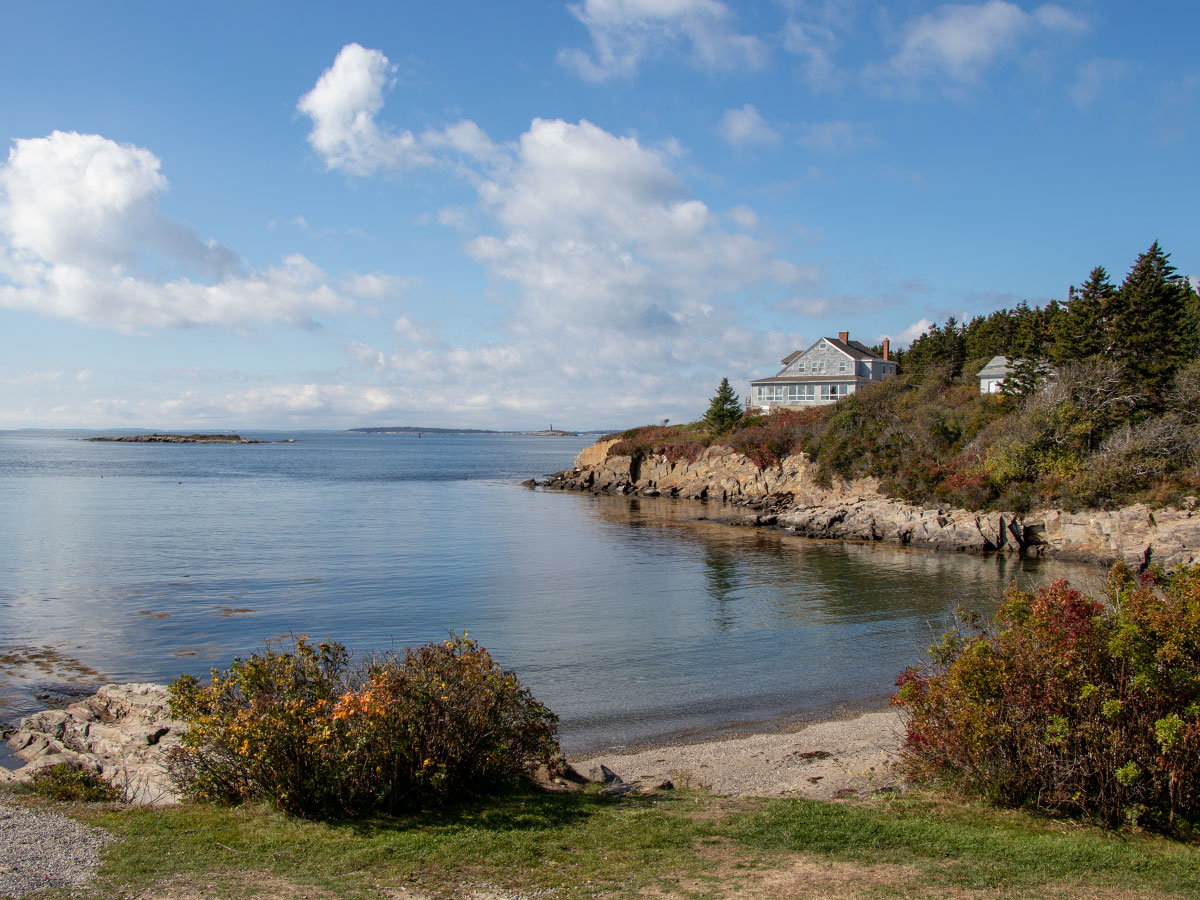
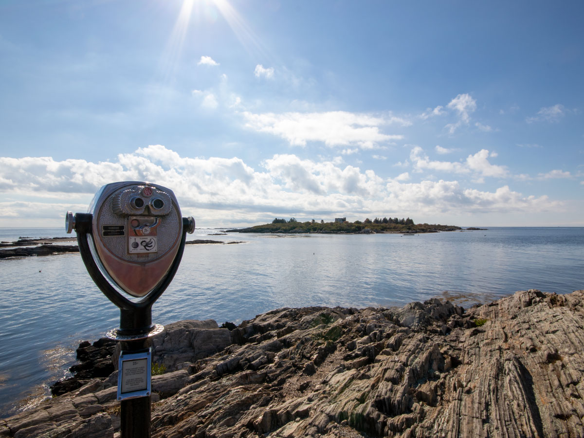
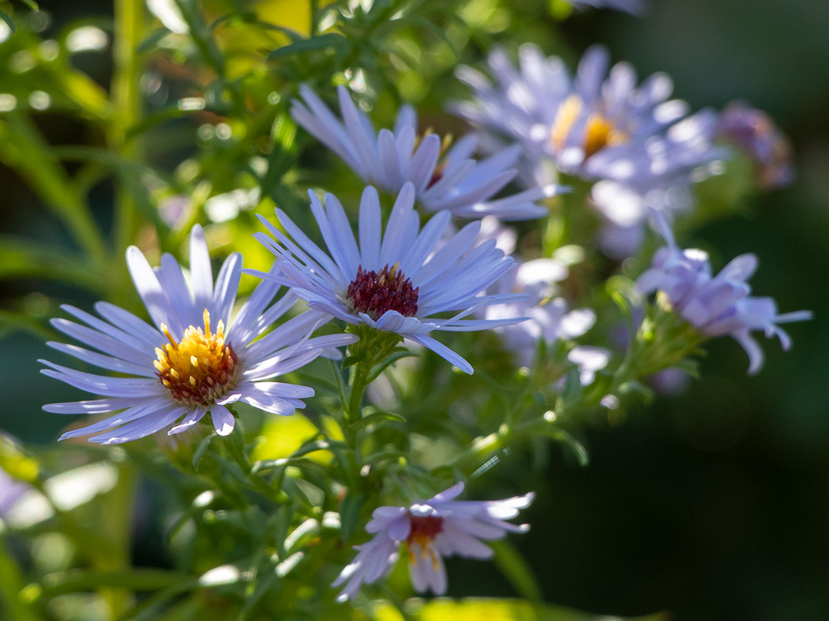
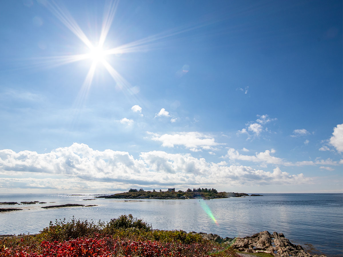
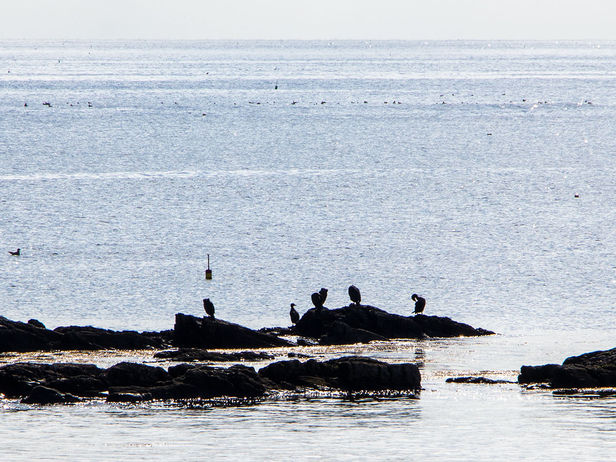
We watched those birds (Cormorants) in the photo above for most of the day. The breed is over the place. They swoop in from the air and land in the water. Moments later, they’ll dive down deep and then reemerge with fish in mouth. It’s quite the spectacle. When they’re not hunting, they can be found sunning their open wings on either some rocks or some of the many docks in the area.
Bailey Island Beach
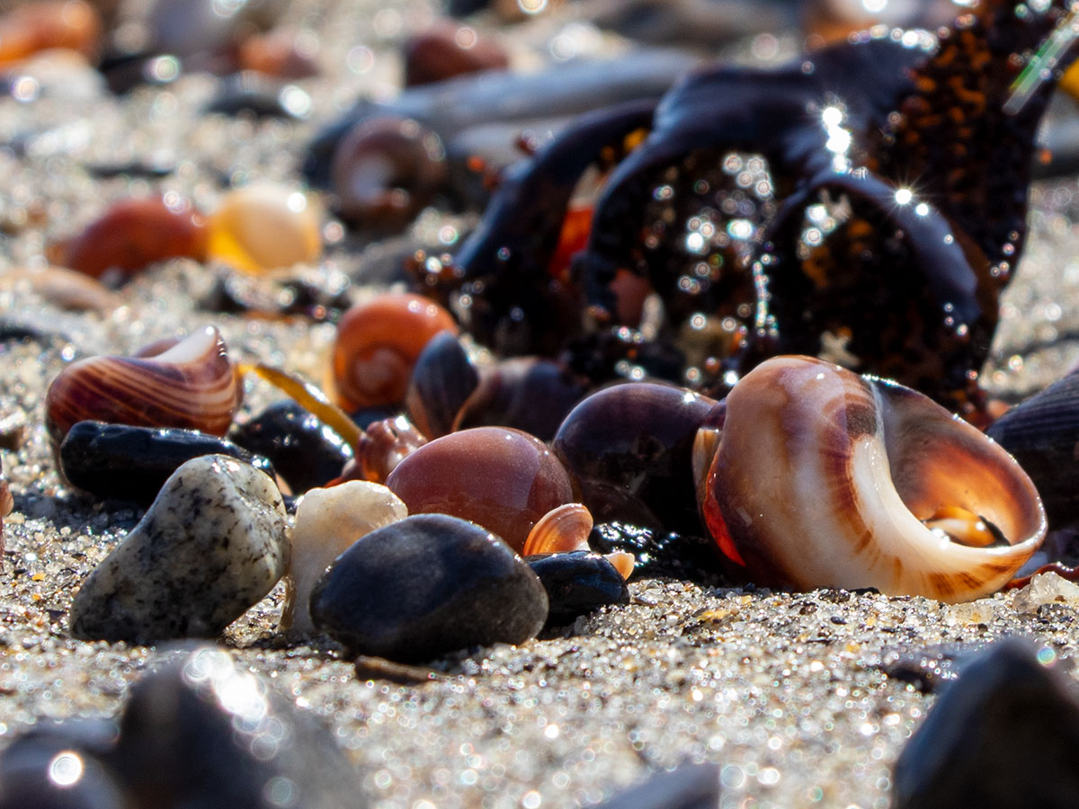
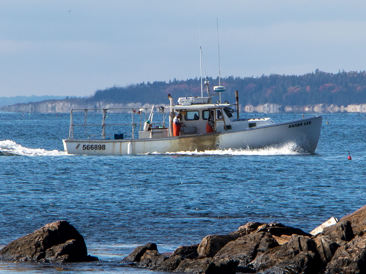
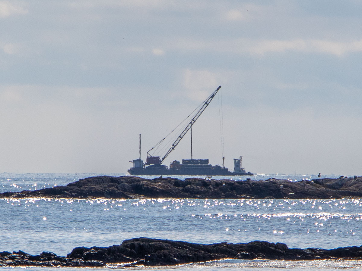
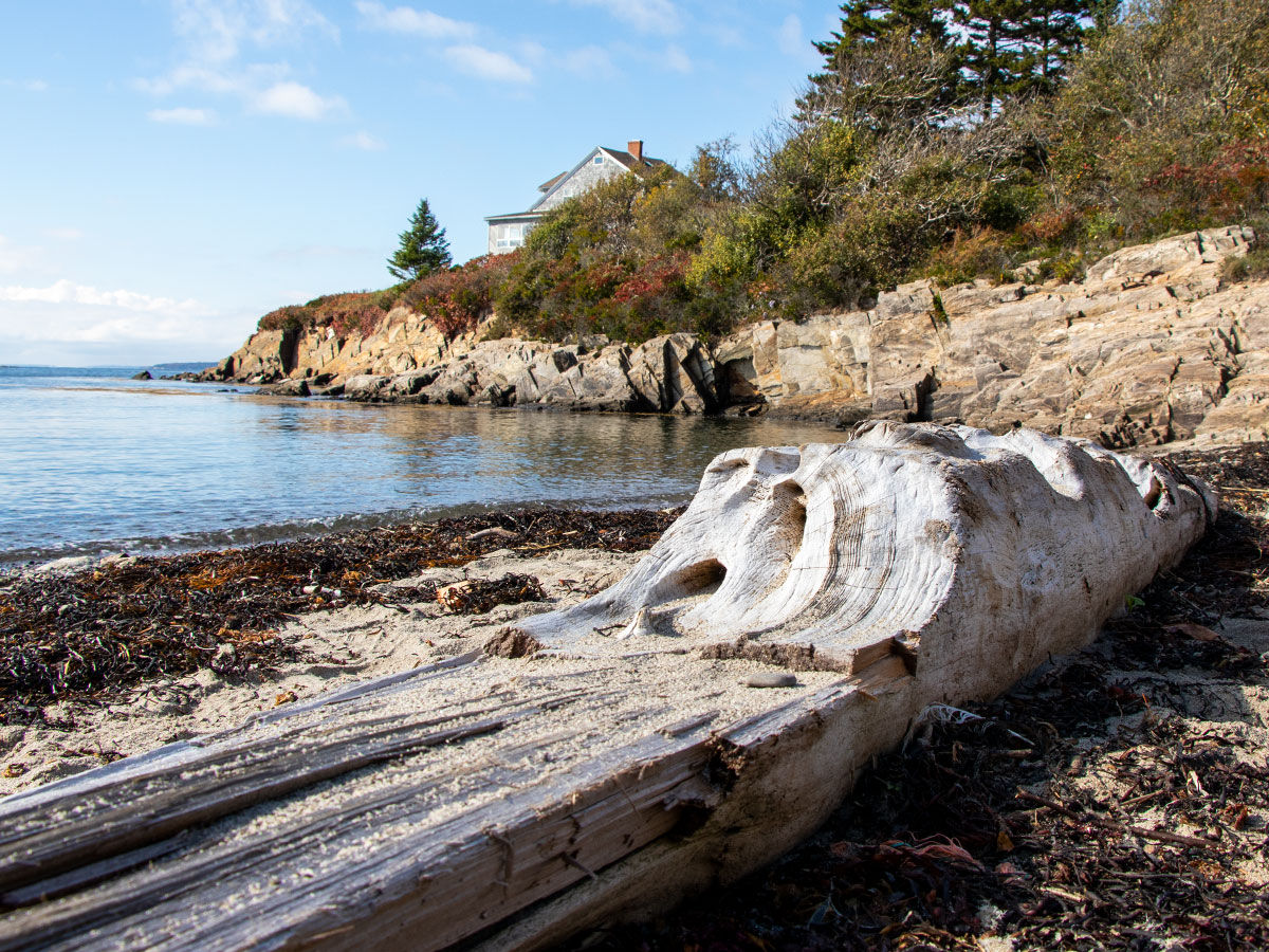
After wandering around the eastern side of the gift shop for a few minutes, we made our way to Bailey Island Beach, which is a mere few steps westward. It’s a small rocky beach that offers some nice views, lots of sea glass, and some driftwood. And little shells.
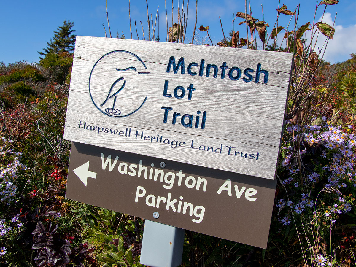
Giant’s Stairs & McIntosh Lot Preserve
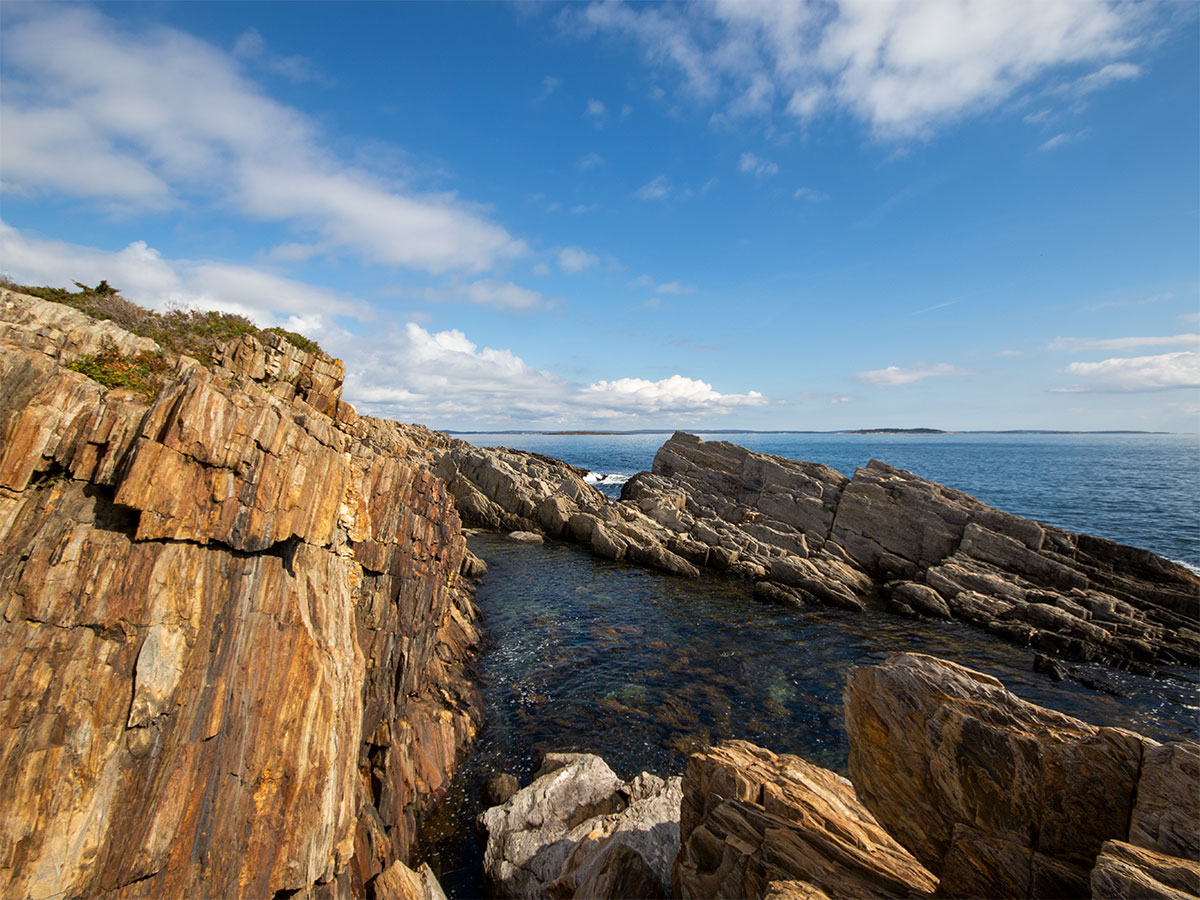
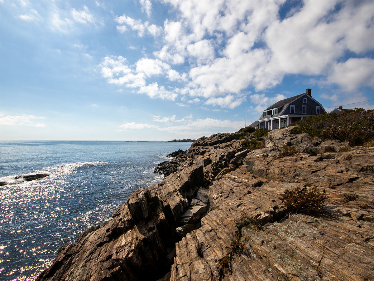
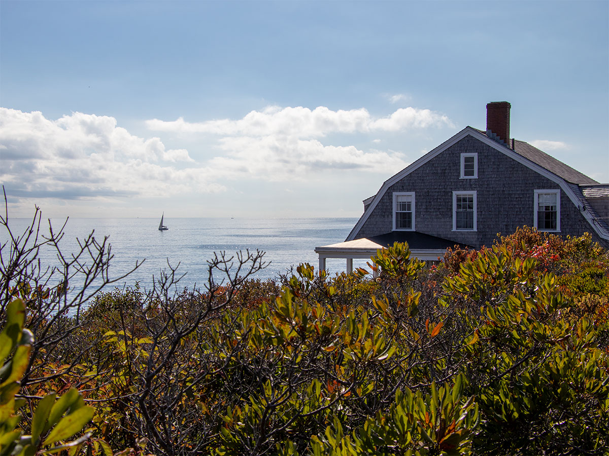
Our next stop (and really the entire reason I drove to Harpswell) was a natural feature called Giant’s Stairs (note: I’ve heard folks call this area Giant Steps, Giant’s Steps, and Giant Stairs. The correct name is Giant’s Stairs.) This area is a short jump from the southern tip of Bailey Island and it consists of a cliff-like rocky coastline. A trail runs parallel to the water on top of the cliffs, so suffice it to say there were plenty of photo opportunities. We spent most of our time here and the weather was simply perfect for what we were doing. There were no crowds and the folks who were there were pleasant to be around.
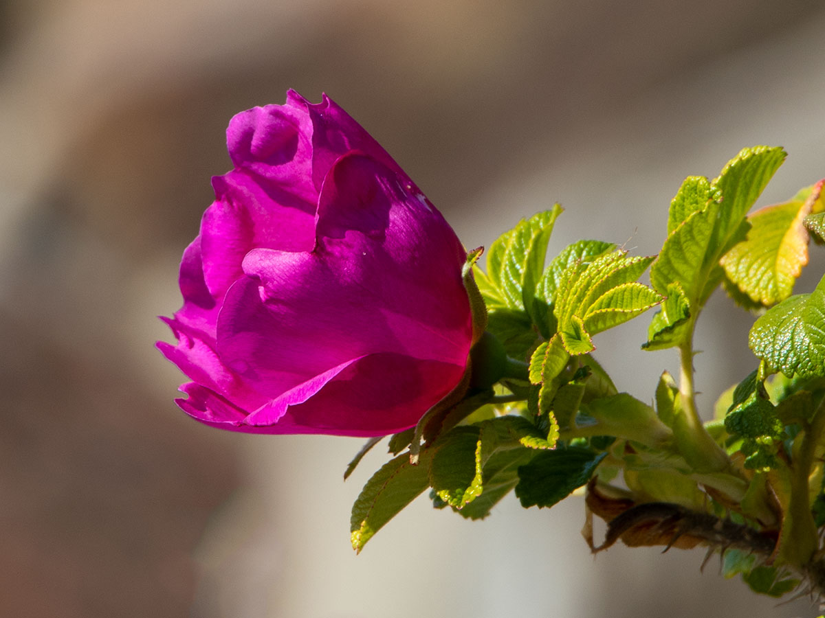
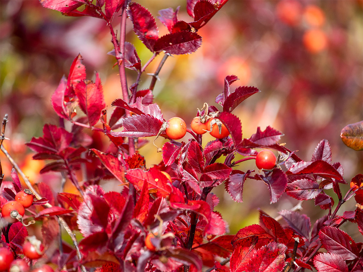
This is a nice photo of what I suspect is a winterberry bush. I tried to find out exactly what these red berries are, but I didn’t have much luck. While I did see many of them in Harpswell, I’m not sure if they can be found along the entire Maine coast or New England at large.
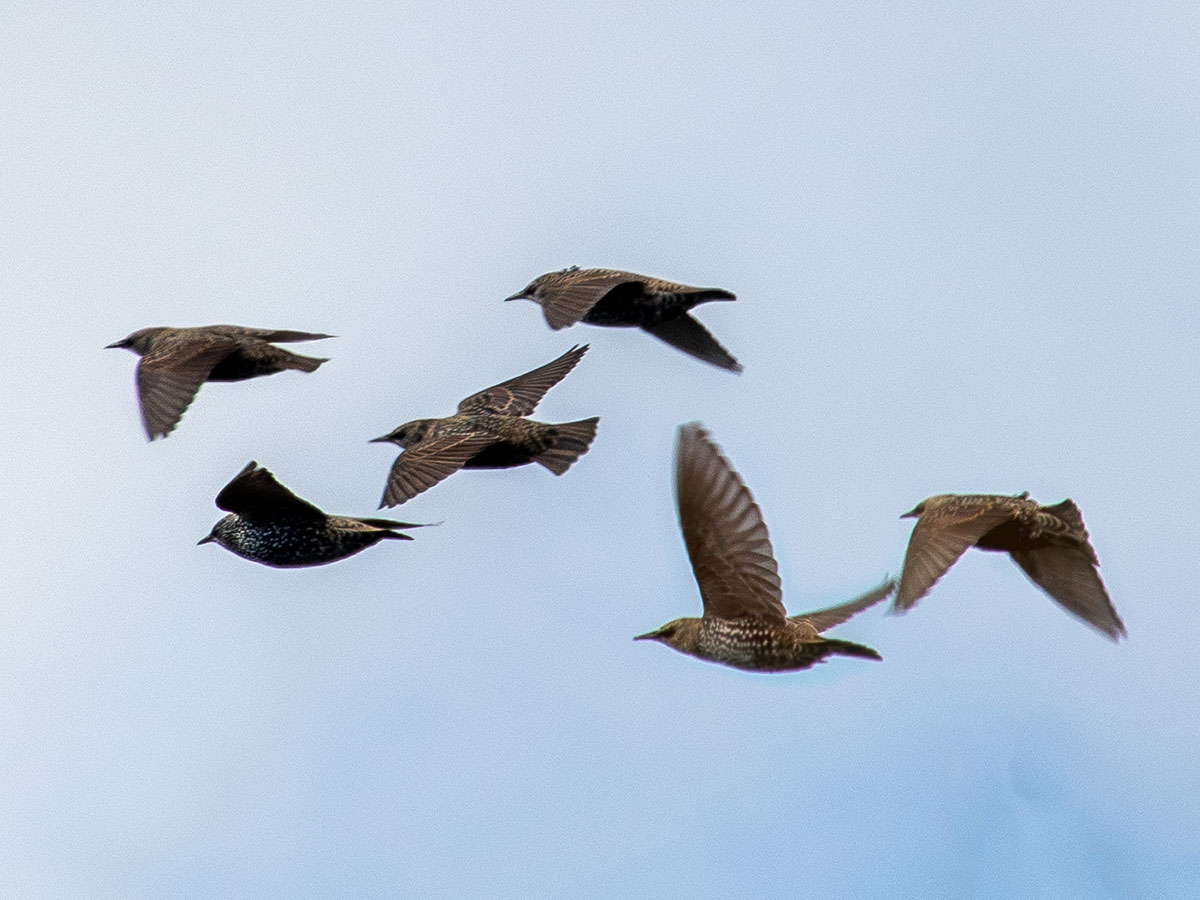
Giant’s Steps is full of cliffs and rocks, but those things aren’t the only reason we made the trip. There’s also a wide variety of wildlife. Laura saw an otter slide down the rocks into the water and I was snapping pictures of the birds all day long. These are starlings.
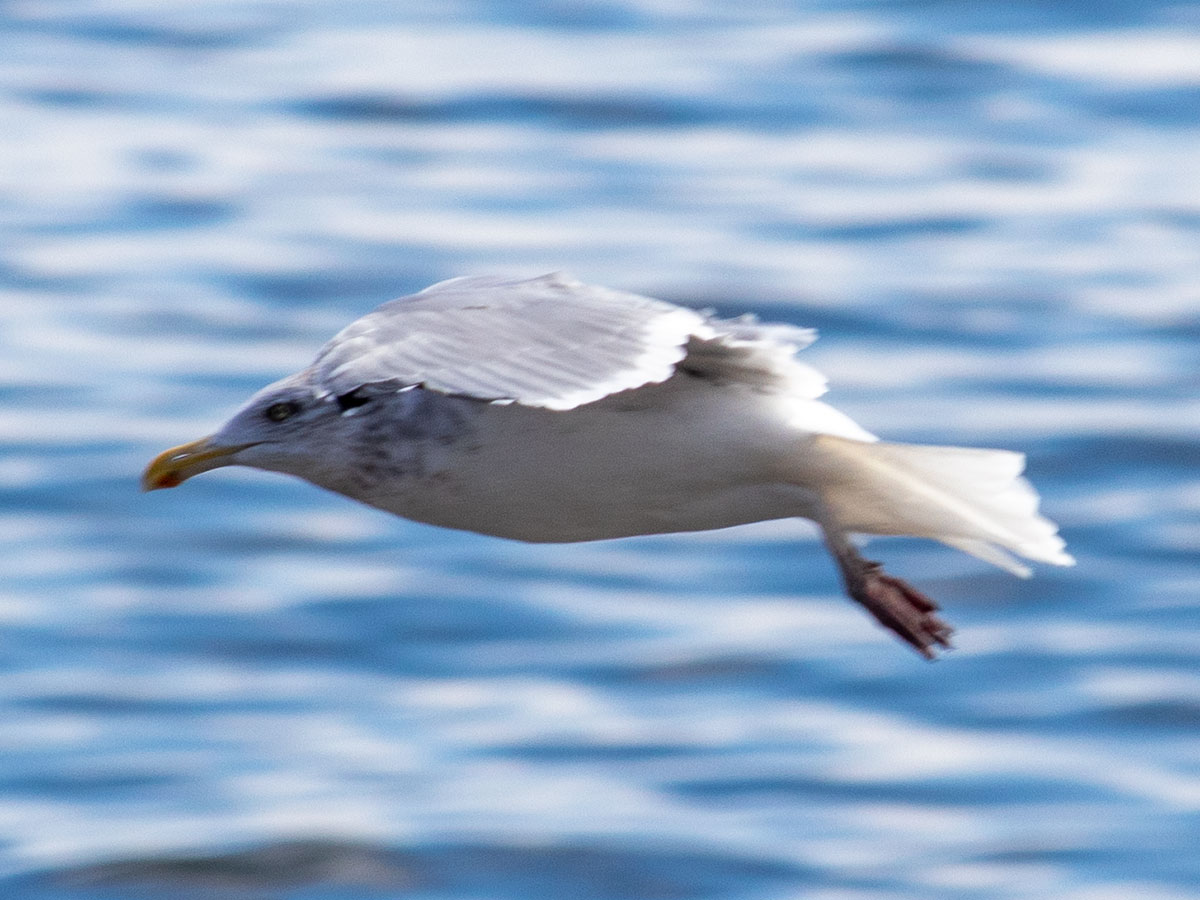
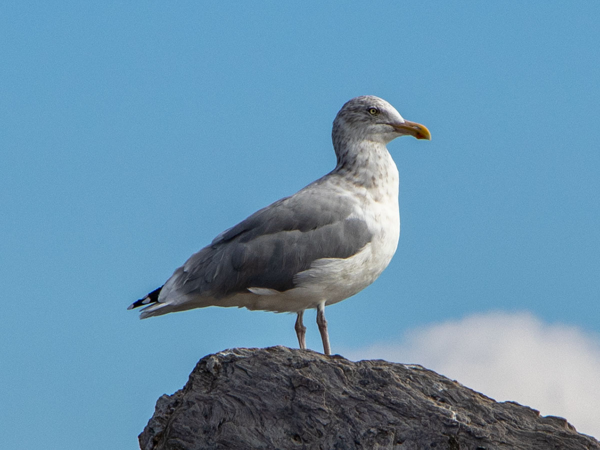
And these are Herring Gulls, the most prolific type of gull in Maine. I wasn’t ready for the first shot with the gull in flight, so I wasn’t able to change my camera’s shutter speed, but even then I did okay. The second shot was easy with the 300mm lens.
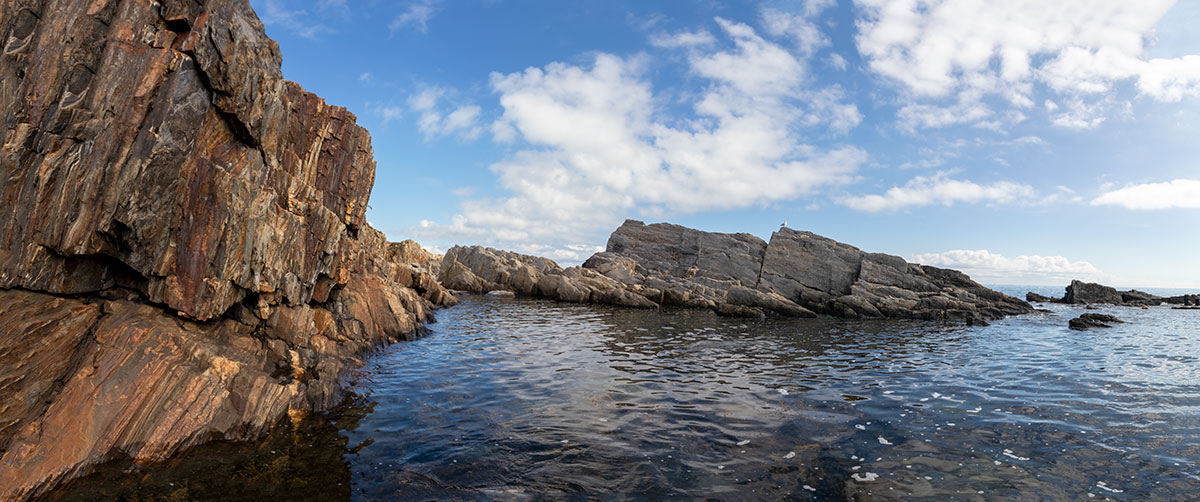
From the pathway along the cliffs were a few small and treacherous trails leading down to the water. I decided to climb down one of these trails to take a series of photos that would soon become a panorama. What you’re looking at is six photographs merged into one wide one.
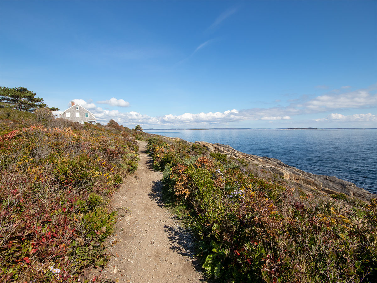
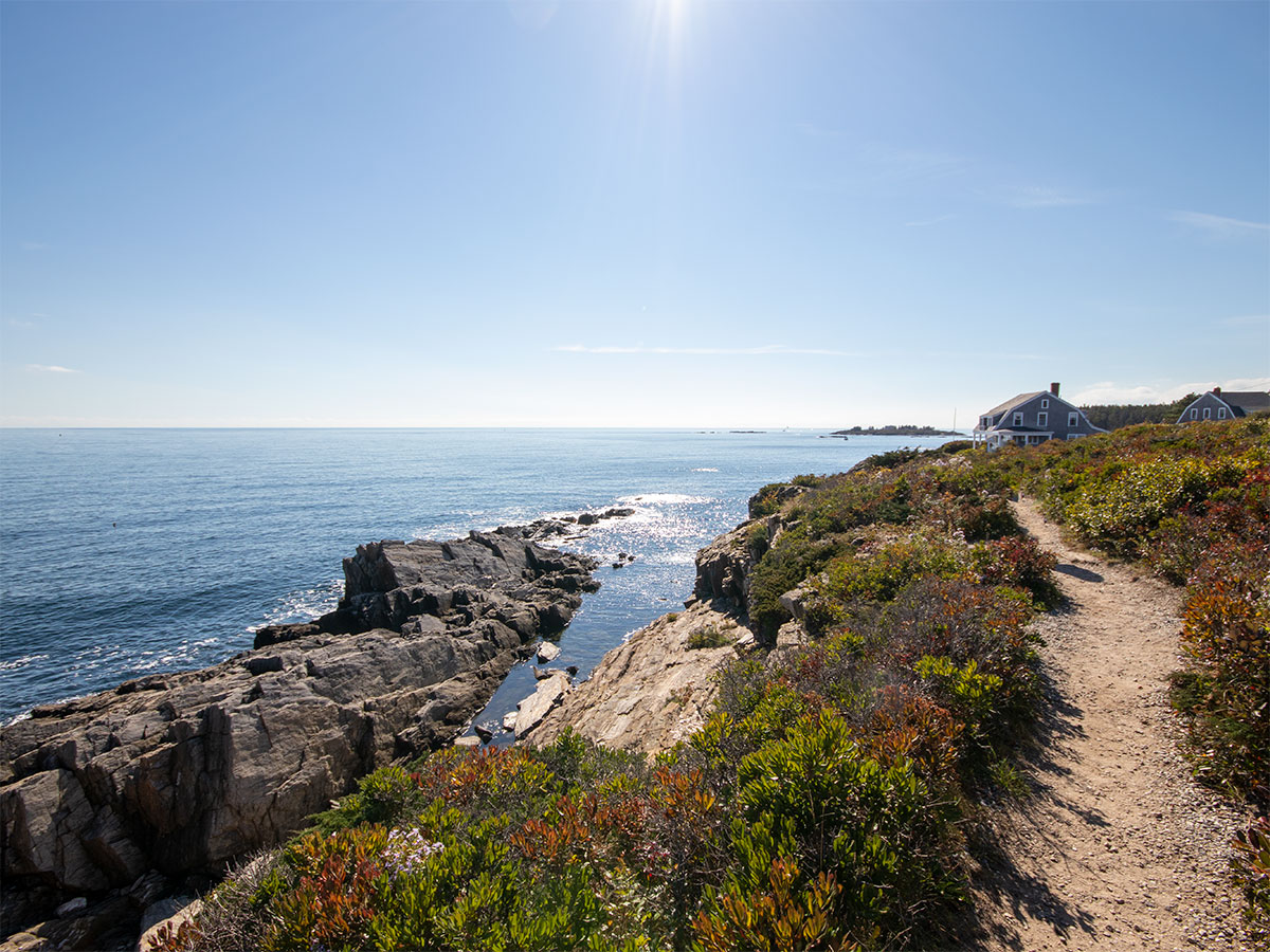
This is the path I’ve been referring to. The first photo is leading north and the second photo leads south.
Mackerel Cove
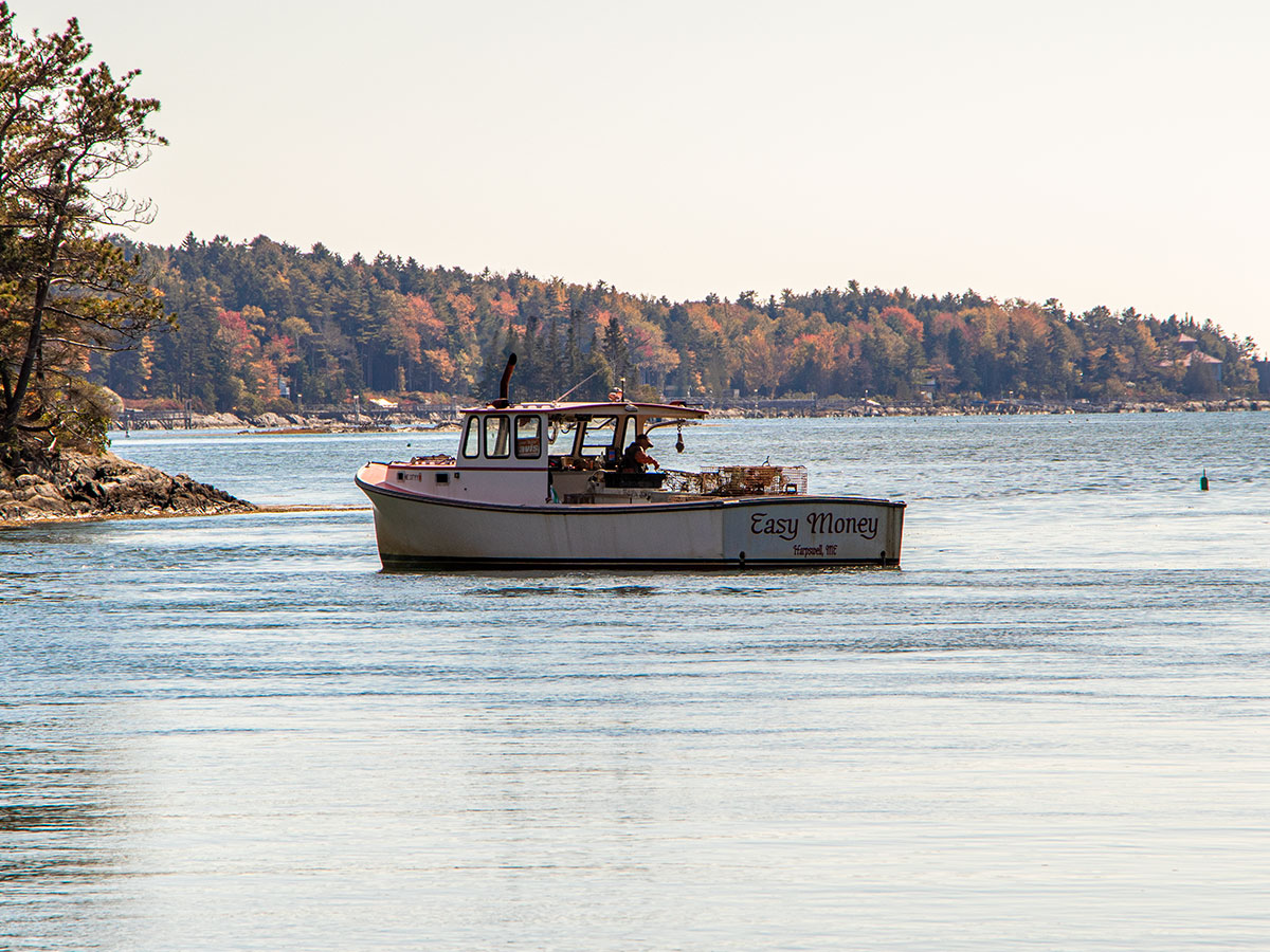
After we had our fill of the Giant’s Stairs, we drove north to Mackerel Cove. This is a lovely body of water that’s chock full of fishing boats. It seems like Harpswell attracts two types of people; folks who like to live near the ocean and fisherman. There were lots and lots of fishermen. This is the cove itself.
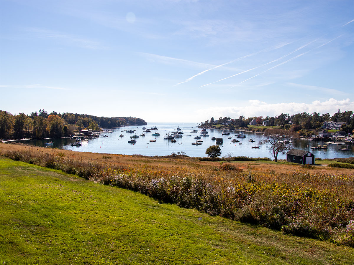
These are photos from the Johnsons Field Preserve. We parked there to get a closer look at the cove.
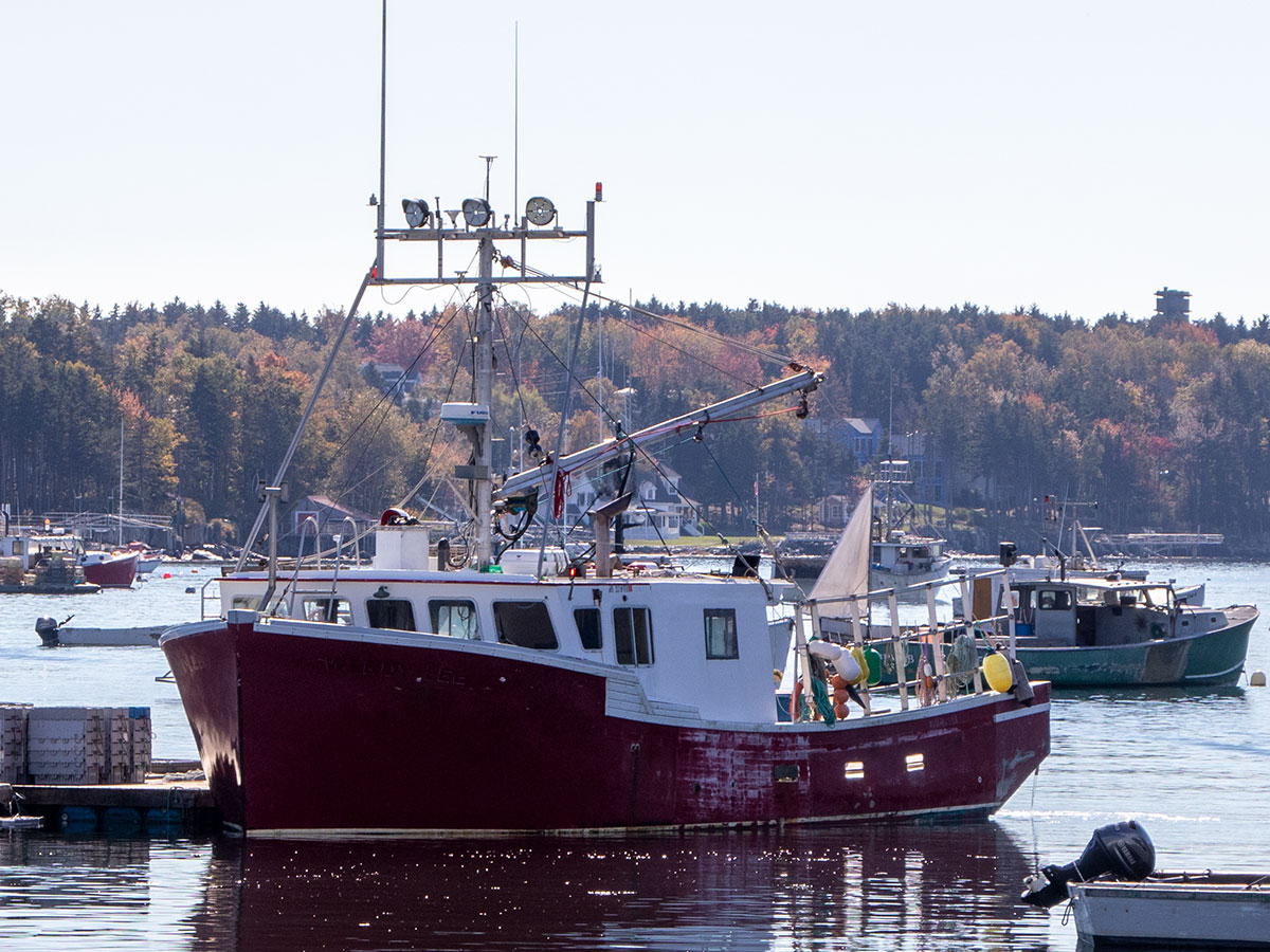
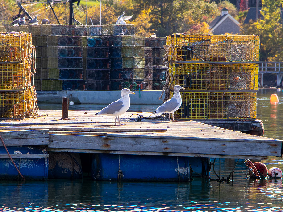
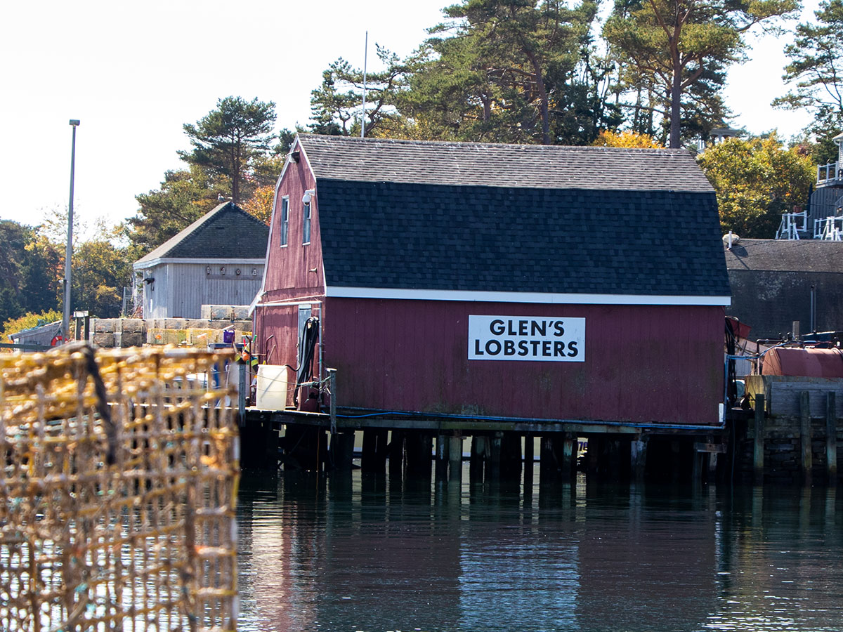
This cove was a real attraction for visitors driving through. Many cars were stopped along the road so their occupants could take photos.
Bailey Island Bridge
The Bailey Island Bridge holds a bit of fame around these parts. It’s what’s referred to as a cribstone bridge, meaning it’s constructed of slabs of granite, stacked on top of one another in a perpendicular fashion (cobwork). The engineers who came up with the idea reasoned that the spaces between the slabs would allow seawater to flow freely through the structure, avoiding fast currents that would otherwise have been caused by the ebb and flow of the tide. The slabs of granite that were used for all 1,150 feet of construction were mined nearby in Yarmouth.
The claim to fame for this structure stems from how unique it is. The Bailey Island Bridge is reported to be the only granite cribstone bridge in the world. It’s listed in the National Register of Historic Places as well as recognized as a National Historic Civil Engineering Landmark.
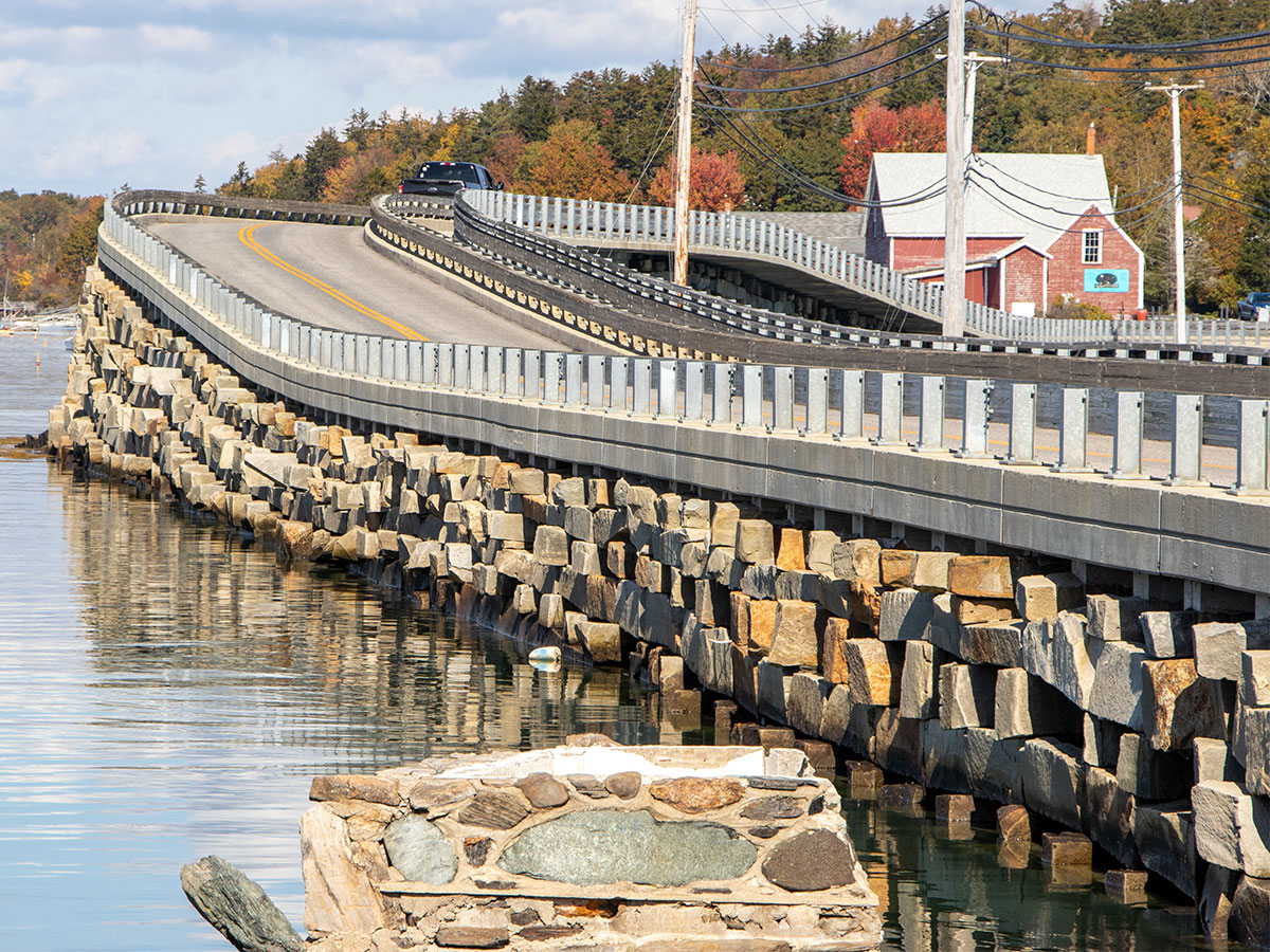
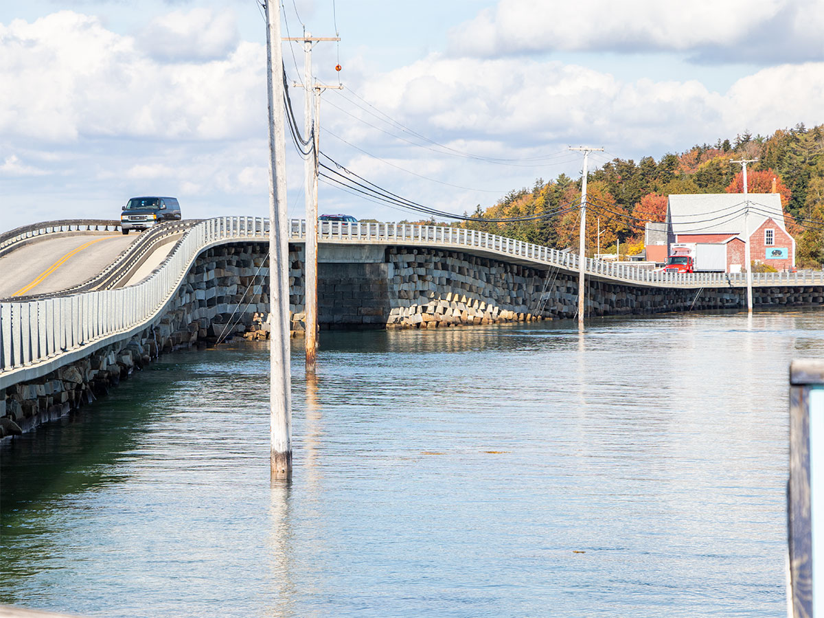
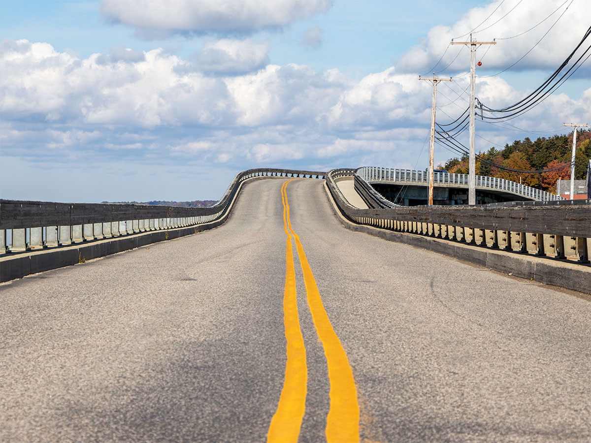
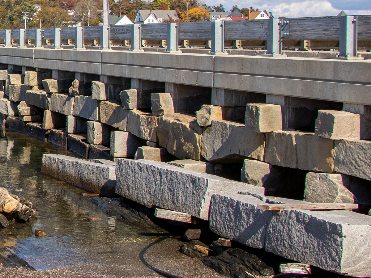
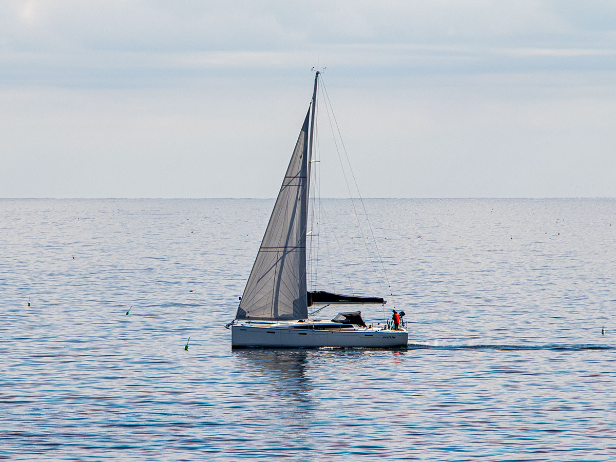
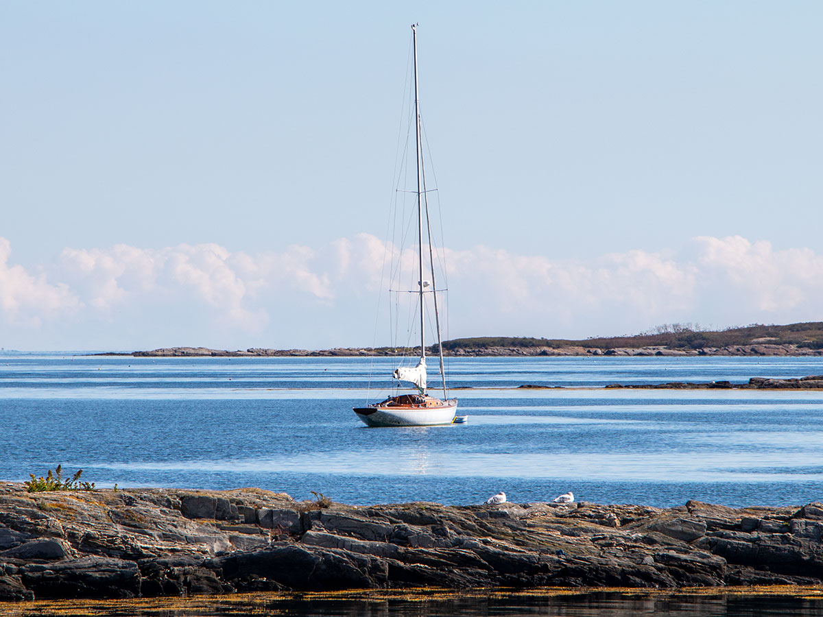
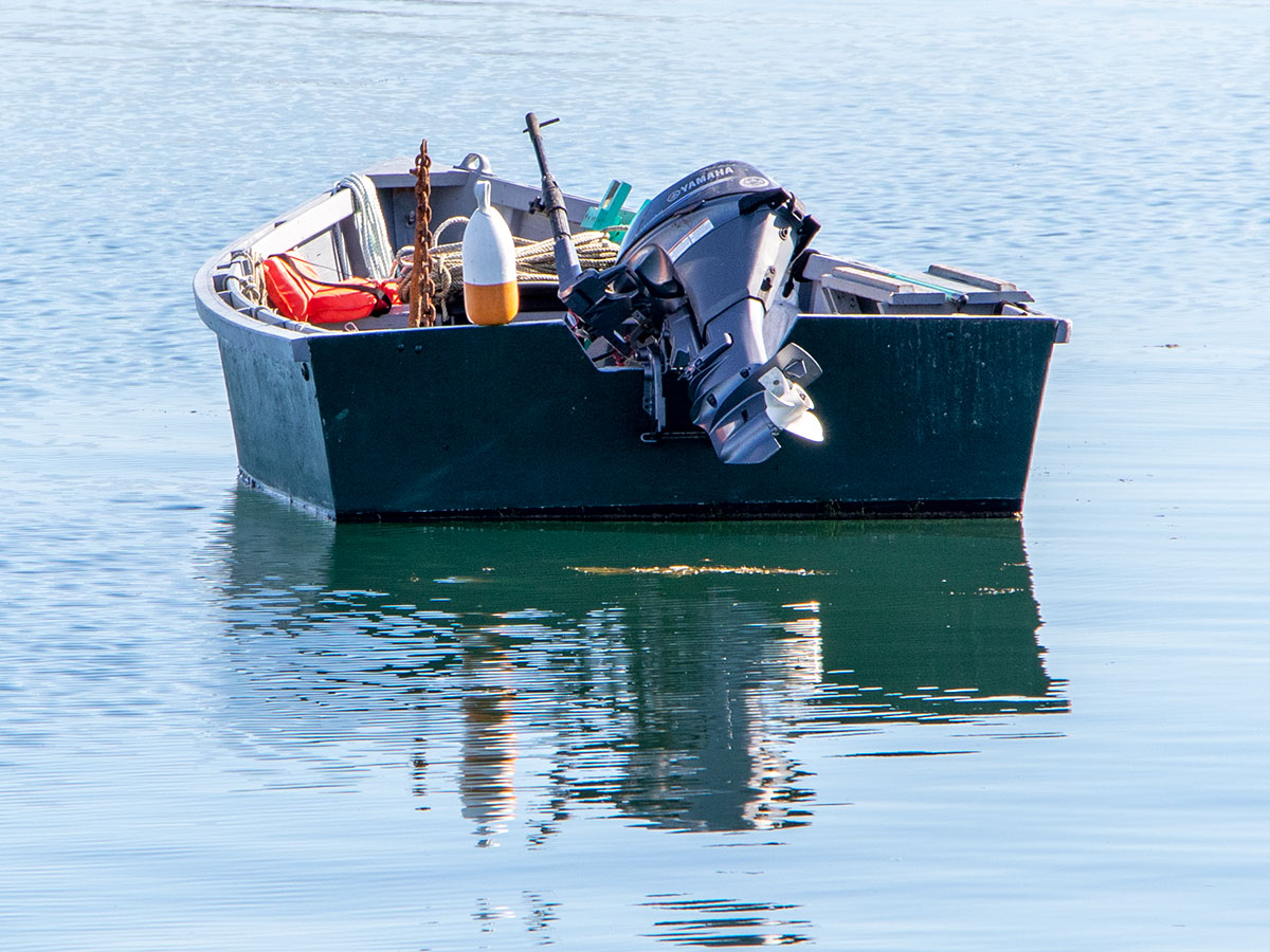
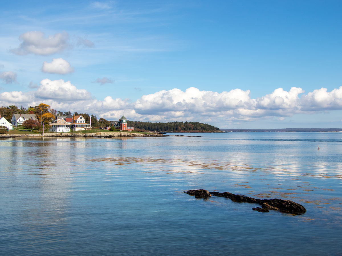
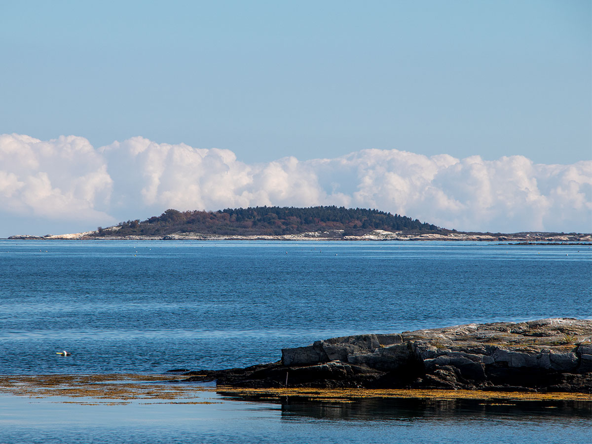
Since we were already out of the car and taking photos of the bridge, I decided to hunt around for more scenery. It wasn’t far away. I was able to take some photos of a few boats; a sailboat and a small motorboat. I also caught a glimpse of some beautiful coastline.
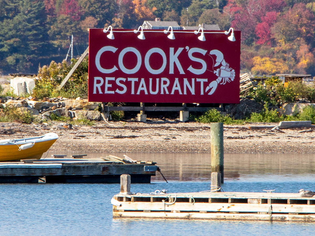
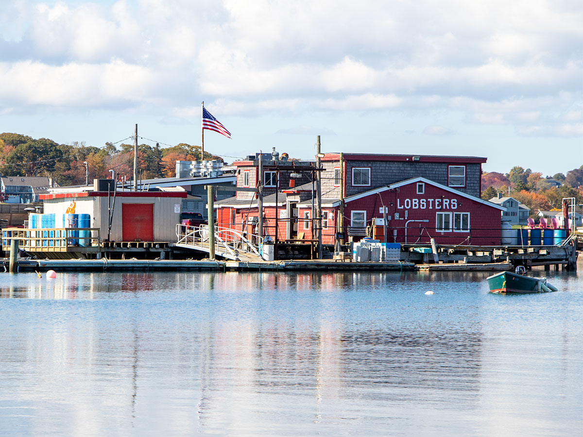
Finally, I snapped a few photos of Cook’s Restaurant, otherwise known as Cook’s Lobster & Ale House. This restaurant is located on the northernmost tip of Bailey Island and it represents the dozens of similar lobsterhouses in the area. If you enjoy eating seafood, Harpswell may be the place for you.
Orr’s Island Bridge
Our final destination was Orr’s Island Bridge. This was actually one of the first features that evoked “oohs” and “ahhs” from the both of us as we were driving in. The scenery surrounding the bridge is stunning. It’s a simple curved bridge that most likely doesn’t offer a lot of interesting history. Although, it does connect Orr’s Island and Sebascodegan Island, so that may be interesting. What it also offers is an excellent place to stop and stretch your legs. While there, Laura and I were able to take lots of nice photos. On the east side of the bridge is Gunpoint Cove and on the west is Harpswell Sound. There’s even a tiny piece of land called Uncle Zeke Island. Again, this bridge is part of Route 24.
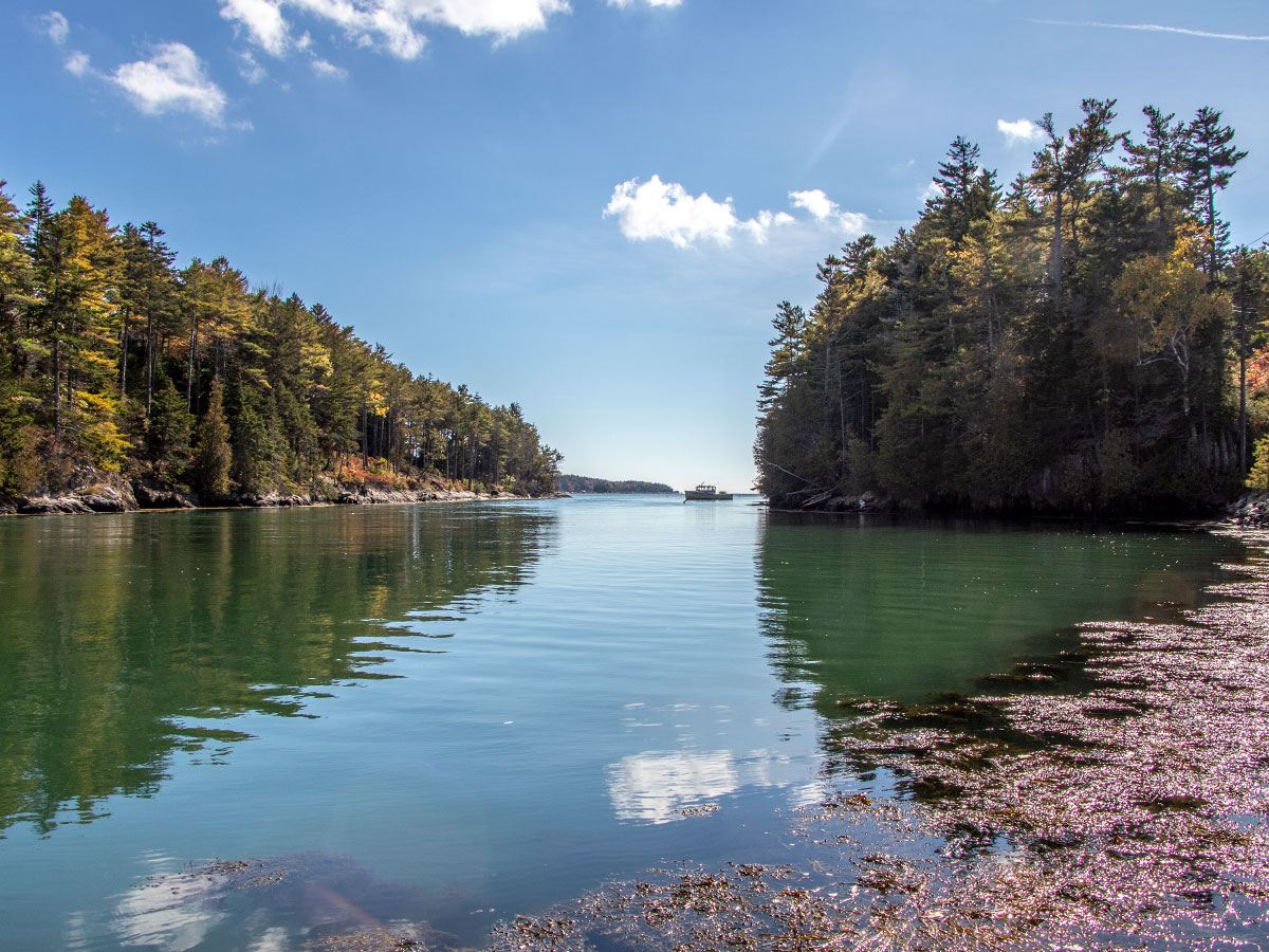
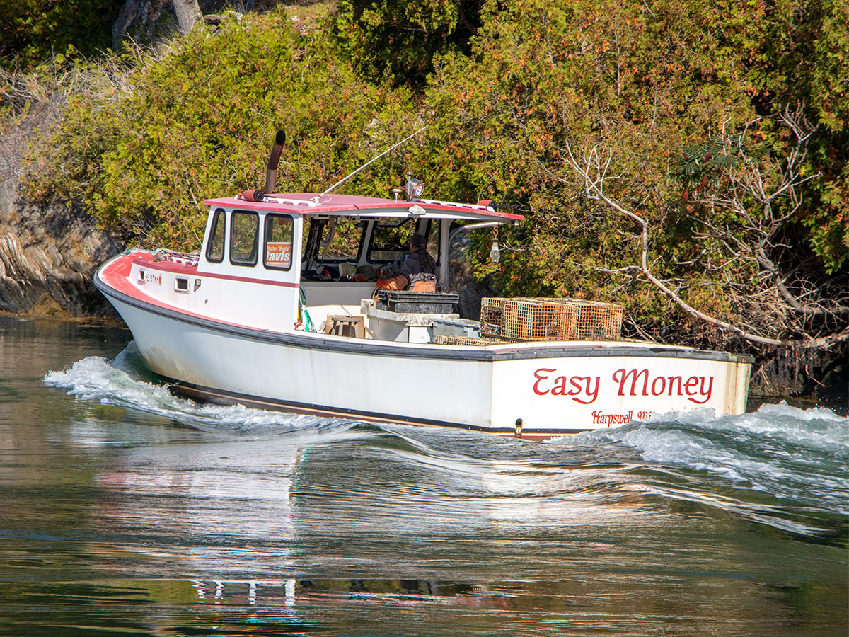
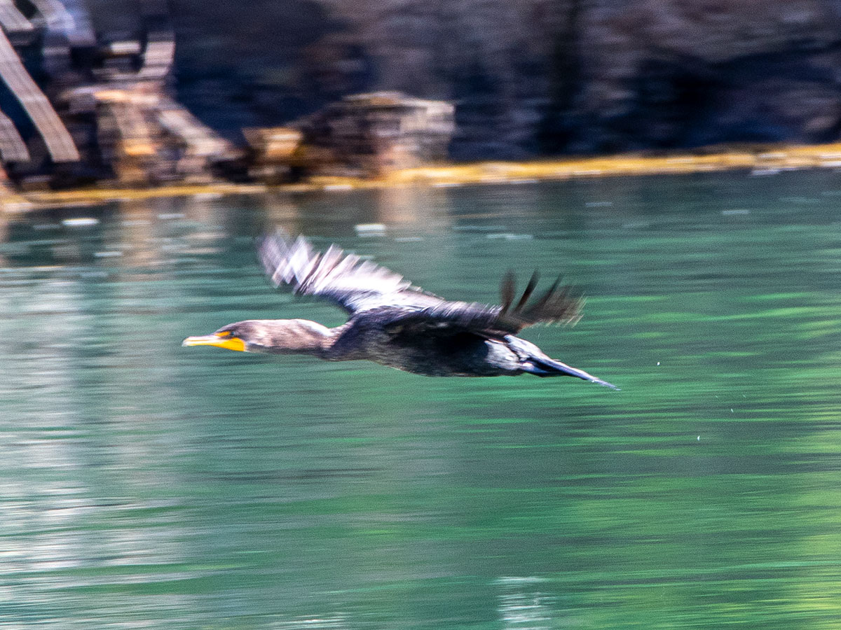
I did my best at reducing the number of photos I took during the day and I think these are the ones that stood out, even though the birds in flight at slightly blurry. Next time, now that I know there’s such abundant wildlife, I’ll be sure to purposefully capture the images with the proper shutter speed. This was a dry run. I do hope you enjoyed this post and these pictures and again, if you have any questions or comments, please leave them below. Now, onto the Q&A I promised above.
Harpswell, Maine Questions & Answers
Is Harpswell a good place to live? If you can afford it and if you’re interested in coastal life, it’s probably one of the best area’s you’ll find. There’s a certain rural/country vibe to it while it maintains the feeling of wealth you just know is all around you. Coastal Maine isn’t an inexpensive place to live, so that’s probably the most defining factor of any decision you’ll make while searching in this type of area. It’s been said that Harpswell is one of the best places to live in Maine. Most residents own their homes, there’s abundant recreational opportunity, and the politics isn’t over the top. In general, folks keep their opinions to themselves. And finally, Harpswell hosts an older crowd. Many people have chosen it as their retirement destination.
What towns are near Harpswell? Harpswell Center, Dyer Cove, Pennellville, Merepoint, East Harpswell, Dyer Corner, Gumet, and Cundys Harbor. In a broader sense, a few larger towns/cities in the vicinity are Brunswick, Topsham, Bath, Boothbay Harbor, Freeport, Yarmouth, and even Portland to the south.
How many islands make up Harpswell? Much of Harpswell is actually connected to the mainland. This is what’s referred to as Harpswell Neck. The three largest islands in the town are named Sebascodegan Island (Great Island), Orr’s Island, and Bailey Island. Beyond that, there are more then 200 small to tiny islands that are scattered around the larger ones.
What’s the distance of coastline around Harpswell? Believe it or not, Harpswell makes up 216 miles of coastline.
How large is Harpswell? The land area of the town is 127.7 miles.
What Maine County is Harpswell in? Cumberland County.
When was Harpswell established? Harpswell was incorporated in 1758. The area’s most predominant traditions are fishing, farming, and ship building, but these days much of what’s done is sightseeing and visiting restaurants. It’s a popular tourist destination. So much so that a few famous folks have stopped by, including authors Harriet Beecher Stowe and Robert P. T. Coffin, preacher Elijah Kellogg, arctic explorer Robert E. Peary, and poet Edna St. Vincent Millay.
What are some things to do in Harpswell? There’s actually a lot to do in Harpswell and the islands that surround it. I’ll give you a list of some of those things below.
14 Interesting Activities in Harpswell, Maine
- Go hiking.
- Take a cruise.
- Visit the Harpswell Historical Society
- Explore the Old Town Meeting House.
- Drive along the cribstone bridge.
- Visit Eagle Island.
- Walk along the Cliff Trail.
- Visit Halfway Rock Lighthouse.
- Explore the Harpswell Community Garden.
- Buy from the Black Sheep Wine & Beer Shop.
- Rent a charter boat.
- Visit Reid State Park
- Visit Popham Beach State Park.
- Walk Along Giant’s Stairs Trail.

Beautiful photos!
Thank you Melissa!
That’s my favorite Maine destination also.
Peter
It is a beautiful area, isn’t it? I just wish I had visited sooner. And since I’ve been there, I’ve been looking at the seemingly endless other coastal spots to visit. Thanks for the comment Peter!