The Cascade Stream Gorge Trails are the perfect destination for anyone who’s in the Rangeley Lakes Region and who’s looking for a quick hike to some stunning waterfalls. The short trail leads into the 90-foot deep gorge of Cascade Stream and provides access to a series of waterfalls and chutes. The trail leaves from the south. There’s parking available up a steep dirt incline. If you’re averse to mountain climbing with your vehicle, you can always park on the road.
Since the day was young after visiting Quill Hill and not one moment of the beautiful weather we were experiencing could be spared, I decided to surprise Laura with a visit to a nearby waterfall. This is one we haven’t been to yet, so it was exciting to see what was in store for us. As I mentioned earlier, the late summer rains have supplied the area with enough groundwater to keep just about every local waterfall alive. The Cascade Stream Gorge Falls were no different. There was just enough water flowing to make our photography worthwhile. And as you’ll see in the photos below, I think our efforts were worth it.
The Cascade Stream Gorge is easily accessed. As a matter of fact, the parking area that leads to it is just south of Rangeley, so it was on our way home from Quill Hill. And as a side note, I’m using the terms gorge and falls interchangeably here because they’re almost one and the same. The gorge encapsulates the falls, so if you hike to the falls, you’ve hiked to the gorge. And an easy hike it is. Well, I should say it’s more of a short hike than an easy one. At just under one mile, an inexperienced hiker couldn’t ask for anything more. But as far as terrain goes, you better be sure you’re up to the task. Wear hiking boots with good ankle support and make sure you’re able to handle rocks and tree roots. Let’s just say the terrain is tough. If I were a few years older, I don’t think I would have risked it.
Otherwise, the area is lovely. The gorge is said to be 90′ high and the hiking trail passes by a number of falls and chutes. The trees along the trail are clearly marked so you can maintain confidence that you won’t wander off somewhere you’re not supposed to be. As far as photo ops go, there are plenty of them. If you’re an amateur photographer, you’ll be in your glory. Laura and I climbed over the huge boulders like monkeys in our efforts to get the best shots we could. Like usual though, only a handful were any good. Out of around 100 photos, I narrowed the ones I saved to around 10. And of those 10, I’ve gone ahead and shared the best down below.
Before I continue on, please allow me to offer some driving directions to these falls. Hopefully they will make your own visit as smooth as ours was.
Directions to Cascade Stream Gorge Trail
The gorge and falls are located in Sandy River, Maine, which is in the Rangeley Lakes Region.
- From the intersection of Route 16 and Route 4 in Rangeley, drive south on Route 4 for 3.4 miles.
- When you see Townhall Road on your left, make that left.
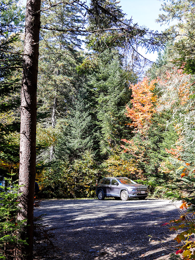
- Drive for .1 miles until you see a small dirt road on your left. This is the entrance to the parking area of the falls. You may find the entrance to the parking area too steep or in not very good condition. If so, you’re welcome to park on the side of the road at the bottom of the entrance. The walk up to the parking area is very short, so don’t concern yourself with driving to it.
This is a photo of the parking area atop the hill climb driveway.
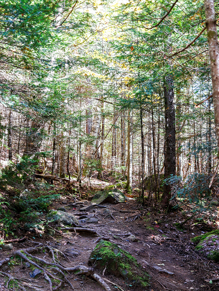
This is a photo of the trail that leads into the woods from the parking area. You’ll notice some rocks and roots in the trail. This isn’t really a great example of what you should expect as you get closer to the falls. The rocks and roots are much larger later on.
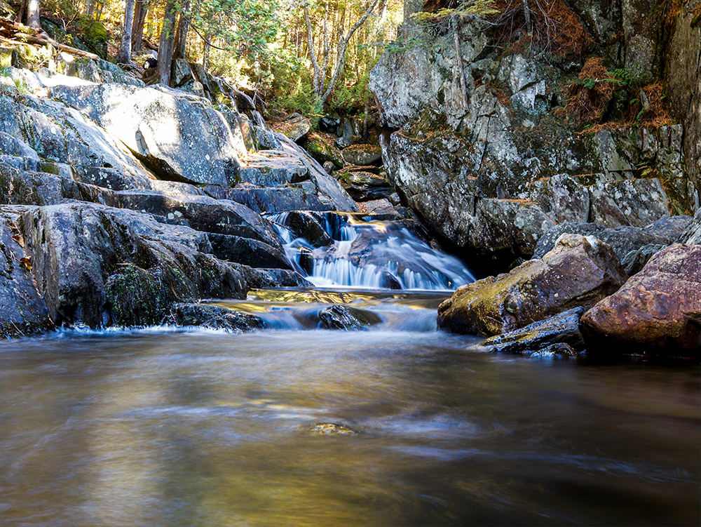
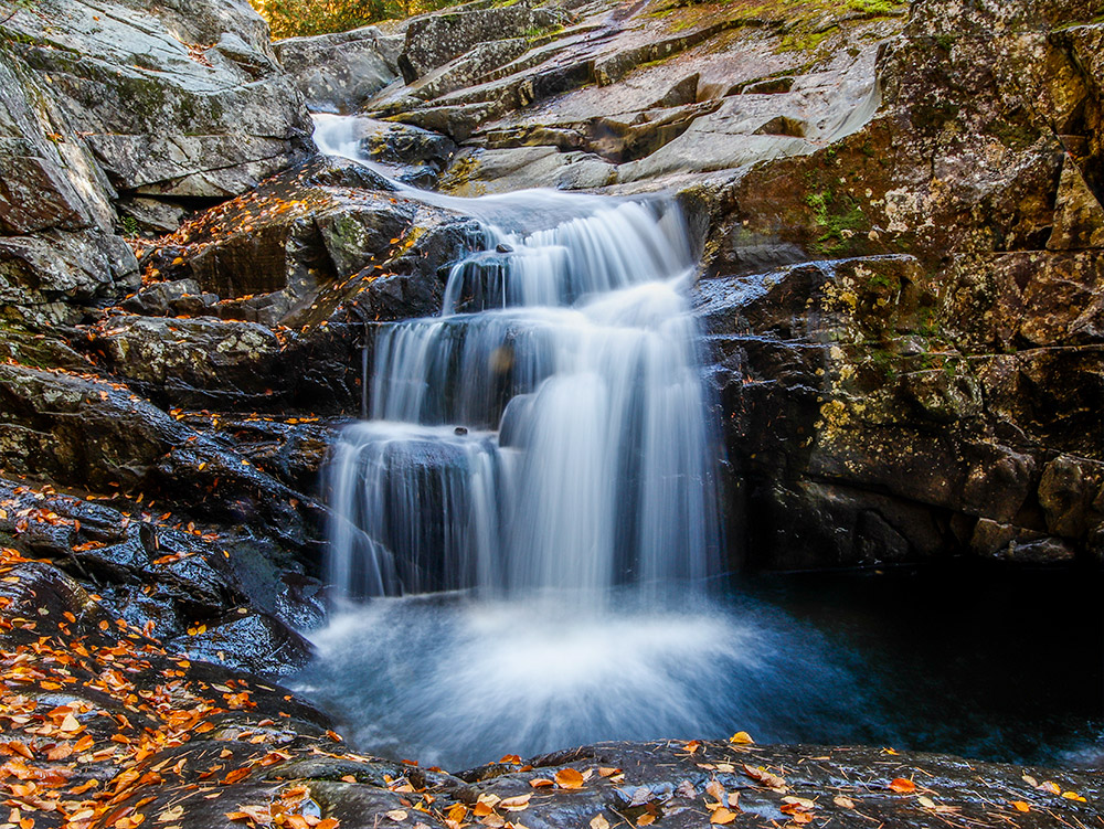
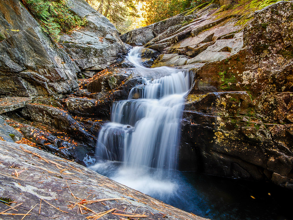
These next three images are of the lower falls themselves. This is where we spent most of our time taking photos and capturing video. As you can see, I focused mostly on time-lapse photography. I did increase my shutter speed to around 1/2000 of a second to see if freezing time looked any good. It didn’t. These silky shots are so much more pleasing to the eye.
This is a video of the falls from a variety of angles. Each clip is 20 seconds long and there are nine clips in all. I think it’s a good representation of what to expect.
Cascade Stream Gorge Waterfall in Coplin, Maine
Overall, Laura and I had a great day enjoying what western Maine had to offer. We’ll certainly keep the area on our list for future years. The colors were vibrant and the crowds were at a minimum. At times, we felt as though we had the attractions all to ourselves.
If you’ve made it this far and if you enjoyed my photos and commentary, please leave a comment with your thoughts. I’d love to know how your own autumn is going as well. Thanks!
Map Coordinates for the Above Location
If you aren’t familiar with how map coordinates work, all you need to do is copy the set of numbers below and then paste them into the search box of either Google Earth or Google Maps. After that, press the search button and you’ll be brought directly to the area I referenced in this post.
- Cascade Stream Gorge Trail: 44.92447324403534, -70.61165108372096

Leave a Reply